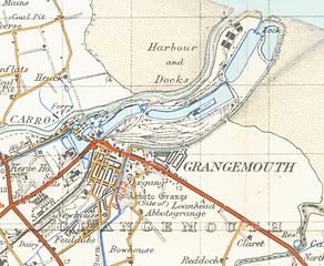
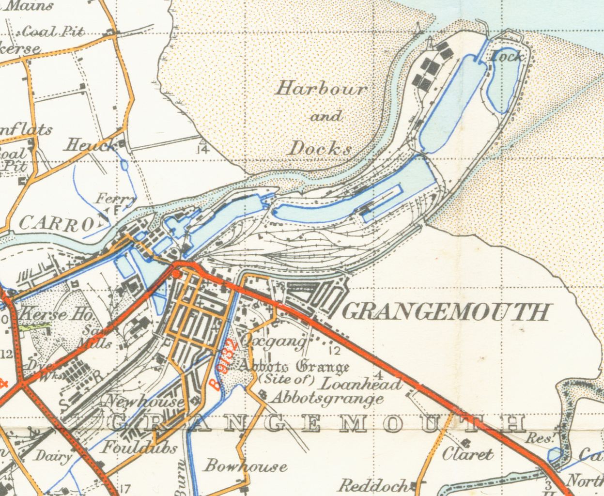
File:Grangemouthmap1945.jpg
Jump to navigation
Jump to search

Size of this preview: 730 × 599 pixels. Other resolutions: 292 × 240 pixels | 585 × 480 pixels | 936 × 768 pixels | 1,247 × 1,024 pixels | 2,495 × 2,048 pixels | 3,525 × 2,894 pixels.
Original file (3,525 × 2,894 pixels, file size: 4.92 MB, MIME type: image/jpeg)
File history
Click on a date/time to view the file as it appeared at that time.
| Date/Time | Thumbnail | Dimensions | User | Comment | |
|---|---|---|---|---|---|
| current | 01:18, 31 March 2007 | | 3,525 × 2,894 (4.92 MB) | commons>Geni | {{oldOS}} {{Information |Description=map of Grangemouth 1 inch to the mile scale scanned at 900 DPI |Source=OS map stirling and Dunfermline sheet 67 1945 |Date=1945 |Author=OS |Permission=none needed |other_versions= }} Category:Maps of Fife |
File usage
There are no pages that use this file.