File:Grafton-Franconia-NH.svg
Jump to navigation
Jump to search

Size of this PNG preview of this SVG file: 600 × 481 pixels. Other resolutions: 299 × 240 pixels | 599 × 480 pixels | 958 × 768 pixels | 1,277 × 1,024 pixels | 2,555 × 2,048 pixels.
Original file (SVG file, nominally 600 × 481 pixels, file size: 110 KB)
File history
Click on a date/time to view the file as it appeared at that time.
| Date/Time | Thumbnail | Dimensions | User | Comment | |
|---|---|---|---|---|---|
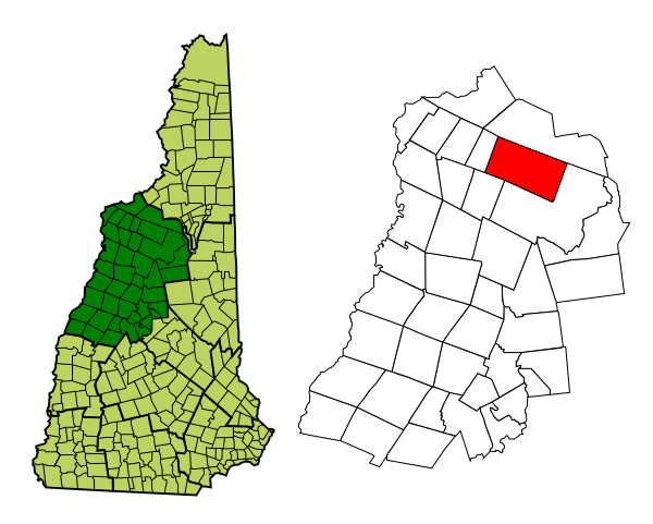
| current | 01:17, 24 February 2008 | | 600 × 481 (110 KB) | commons>Prezboy1 | {{Information| |Description=Map of a municipality in Grafton County, New Hampshire. |Source=Based on Image:Grafton-Franconia-NH.png, which was created from [http://libre.redjar.org/maps/data/boundary/ Boundary/Border Outline Files] of the Libre Map |
File usage
There are no pages that use this file.