File:Goshen Township fields near M-C Road.jpg
Jump to navigation
Jump to search

Size of this preview: 800 × 532 pixels. Other resolutions: 320 × 213 pixels | 640 × 426 pixels | 1,024 × 681 pixels | 1,280 × 851 pixels | 2,560 × 1,702 pixels | 6,016 × 4,000 pixels.
Original file (6,016 × 4,000 pixels, file size: 5.74 MB, MIME type: image/jpeg)
| Camera location | | View this and other nearby images on: OpenStreetMap |
|---|
| Description |
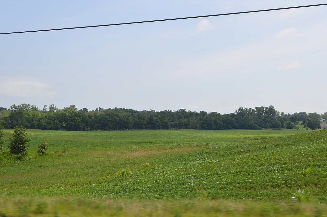
English: Fields in southwestern Goshen Township, Champaign County, Ohio, United States, looking northeast from State Route 56 immediately north of the Mechanicsburg Catawba Road intersection. |
||
| Date | Taken on 18 July 2015 | ||
| Source | Own work | ||
| Author | Nyttend | ||
| Permission (Reusing this file) |
|
File history
Click on a date/time to view the file as it appeared at that time.
| Date/Time | Thumbnail | Dimensions | User | Comment | |
|---|---|---|---|---|---|
| current | 22:16, 21 July 2015 | | 6,016 × 4,000 (5.74 MB) | commons>Nyttend | {{Location|40|1|14|N|83|35|14|W}} {{Information |Description={{en|Fields in southwestern {{w|Goshen Township, Champaign County, Ohio|Champaign Township}}, {{w|Champaign County, Ohio|Champaign County}}, {{w|Ohio}}, {{w|United States}}, looking northeast... |
File usage
There are no pages that use this file.