File:Gironde map routes villes.png
Jump to navigation
Jump to search

Size of this preview: 600 × 600 pixels. Other resolutions: 240 × 240 pixels | 480 × 480 pixels | 768 × 768 pixels | 1,024 × 1,024 pixels | 1,750 × 1,750 pixels.
Original file (1,750 × 1,750 pixels, file size: 707 KB, MIME type: image/png)
File history
Click on a date/time to view the file as it appeared at that time.
| Date/Time | Thumbnail | Dimensions | User | Comment | |
|---|---|---|---|---|---|
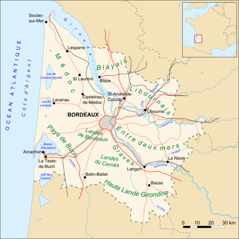
| current | 00:05, 11 November 2007 | | 1,750 × 1,750 (707 KB) | commons>Larrousiney | == Summary == Carte du département de la Gironde (33), routes, villes et "Pays" Based upon Image:Gironde_map_blank.svg created by Sting == Licensing == {{self|cc-by-sa-2.5}} Category:Maps of Gironde [[Category:Transport in Aqui |
File usage
There are no pages that use this file.