File:Germany, location map (SBZ perspective) 23 May 1949 - 6 Oct 1949.svg
Jump to navigation
Jump to search

Size of this PNG preview of this SVG file: 506 × 599 pixels. Other resolutions: 203 × 240 pixels | 405 × 480 pixels | 648 × 768 pixels | 865 × 1,024 pixels | 1,729 × 2,048 pixels | 1,075 × 1,273 pixels.
Original file (SVG file, nominally 1,075 × 1,273 pixels, file size: 1.14 MB)
_23_May_1949_-_6_Oct_1949.svg)
File history
Click on a date/time to view the file as it appeared at that time.
| Date/Time | Thumbnail | Dimensions | User | Comment | |
|---|---|---|---|---|---|
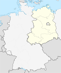
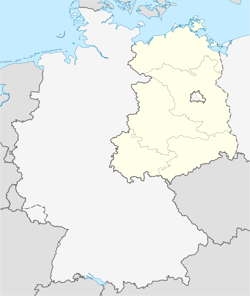
| current | 08:02, 30 April 2010 | | 1,075 × 1,273 (1.14 MB) | commons>TUBS | == {{int:filedesc}} == {{Information |Description= {{de|Positionskarte der Deutschland. Diese Karte zeigt Deutschland im Gebietsstand zwischen 23. Mai 1949 bis 6. Oktober 1949 aus Sicht der Deutschen in der SBZ.}} Quadratische Plattkar |
File usage
There are no pages that use this file.
_23_May_1949_-_6_Oct_1949.svg)