File:Germany, Federal Republic of location map December 1950 - April 1952.svg
Jump to navigation
Jump to search

Size of this PNG preview of this SVG file: 506 × 599 pixels. Other resolutions: 203 × 240 pixels | 405 × 480 pixels | 648 × 768 pixels | 865 × 1,024 pixels | 1,729 × 2,048 pixels | 1,075 × 1,273 pixels.
Original file (SVG file, nominally 1,075 × 1,273 pixels, file size: 502 KB)
File history
Click on a date/time to view the file as it appeared at that time.
| Date/Time | Thumbnail | Dimensions | User | Comment | |
|---|---|---|---|---|---|
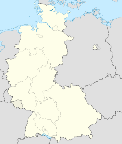
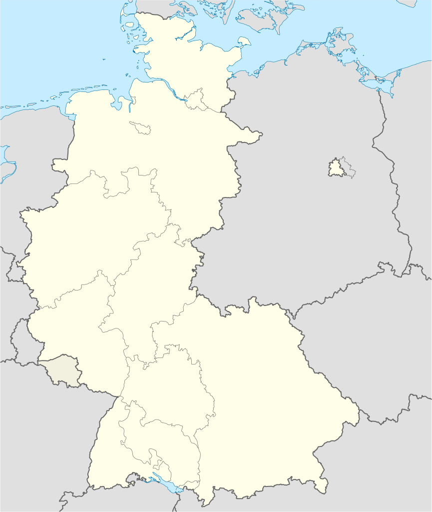
| current | 19:15, 22 January 2009 | | 1,075 × 1,273 (502 KB) | commons>TUBS | == {{int:filedesc}} == {{Information |Description= {{de|Positionskarte der Bundesrepublik Deutschland. Diese Karte zeigt die Bundesrepublik im Gebietsstand zwischen Deyember 1950 - April 1952.}} Quadratische Plattkarte, N-S-Streckung 1 |
File usage
There are no pages that use this file.