File:Geocat-ca.svg
Jump to navigation
Jump to search

Size of this PNG preview of this SVG file: 607 × 599 pixels. Other resolutions: 243 × 240 pixels | 486 × 480 pixels | 778 × 768 pixels | 1,037 × 1,024 pixels | 2,075 × 2,048 pixels | 3,384 × 3,340 pixels.
Original file (SVG file, nominally 3,384 × 3,340 pixels, file size: 4.53 MB)
File history
Click on a date/time to view the file as it appeared at that time.
| Date/Time | Thumbnail | Dimensions | User | Comment | |
|---|---|---|---|---|---|
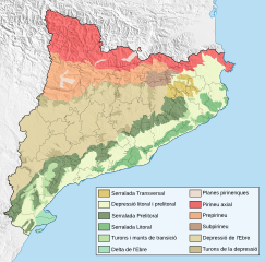
| current | 15:38, 15 April 2008 | | 3,384 × 3,340 (4.53 MB) | commons>HansenBCN | {{Information |Description=Mapa geogràfic de Catalunya (Espanya) assenyalant els principals sistemes morfològics (fronteres orientatives segons articles de la Enciclopedia Catalana) |Source=self-made |Date=15/4/2008 |Author= HansenBCN |
File usage
There are no pages that use this file.