File:Galada Tamboore cycle path start at Craigieburn.jpg
Jump to navigation
Jump to search

Size of this preview: 800 × 533 pixels. Other resolutions: 320 × 213 pixels | 640 × 427 pixels | 1,024 × 683 pixels | 1,280 × 853 pixels | 2,560 × 1,707 pixels | 3,072 × 2,048 pixels.
Original file (3,072 × 2,048 pixels, file size: 5 MB, MIME type: image/jpeg)
File history
Click on a date/time to view the file as it appeared at that time.
| Date/Time | Thumbnail | Dimensions | User | Comment | |
|---|---|---|---|---|---|
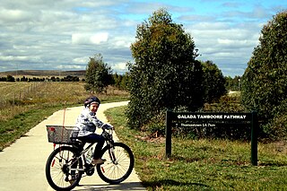
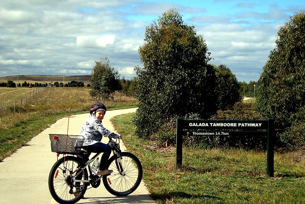
| current | 14:45, 24 April 2011 | | 3,072 × 2,048 (5 MB) | commons>Tirin | {{Information |Description ={{en|1=At the start of the Galada Tamboore Cycle Path at Craigieburn. The path follows the M31 Hume Freeway for 14.7km from Craigieburn to Thomastown where it meets the Western Ring Road Path. It was constructed when the Hum |
File usage
There are no pages that use this file.