File:Freiburg hist map 001.jpg
Jump to navigation
Jump to search
Size of this preview: 732 × 600 pixels. Other resolutions: 293 × 240 pixels | 586 × 480 pixels | 937 × 768 pixels | 1,250 × 1,024 pixels | 2,500 × 2,048 pixels | 3,620 × 2,966 pixels.
Original file (3,620 × 2,966 pixels, file size: 4.99 MB, MIME type: image/jpeg)
File history
Click on a date/time to view the file as it appeared at that time.
| Date/Time | Thumbnail | Dimensions | User | Comment | |
|---|---|---|---|---|---|
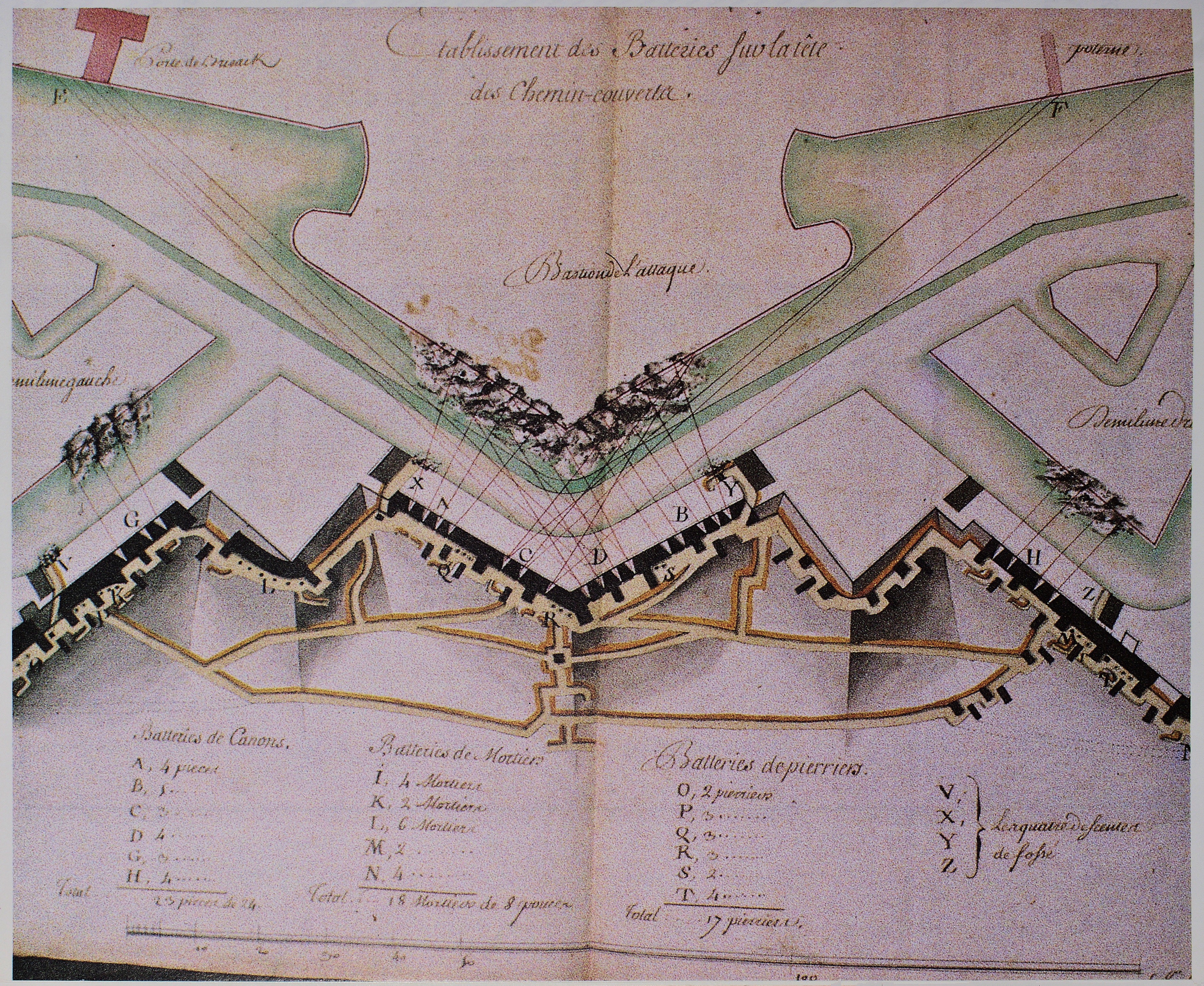
| current | 17:46, 31 March 2009 | | 3,620 × 2,966 (4.99 MB) | commons>GerWsUpload | {{Information |Description=Karten und Festungspläne von Freiburg Etablissement des batteries sur la tete des chemins-couverts 1744 |Source=photographs of historical dokuments |Date=- |Author=- |Permission=Author died more than 70 years ago - public d |
File usage
There are no pages that use this file.