File:Former DEW Line Radar station.jpg
Jump to navigation
Jump to search

Size of this preview: 800 × 523 pixels. Other resolutions: 320 × 209 pixels | 640 × 418 pixels | 1,024 × 670 pixels | 1,280 × 837 pixels | 2,860 × 1,870 pixels.
Original file (2,860 × 1,870 pixels, file size: 2.47 MB, MIME type: image/jpeg)
File history
Click on a date/time to view the file as it appeared at that time.
| Date/Time | Thumbnail | Dimensions | User | Comment | |
|---|---|---|---|---|---|
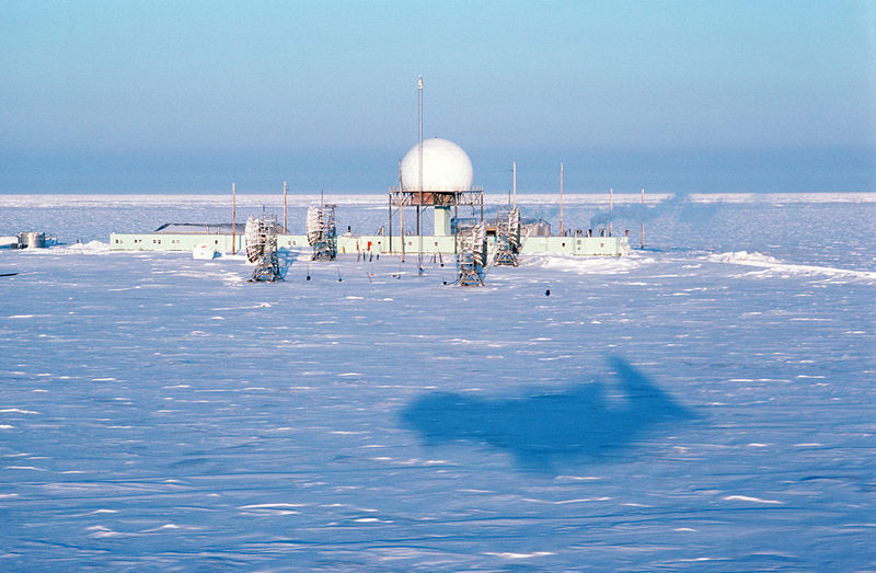
| current | 23:55, 20 July 2008 | | 2,860 × 1,870 (2.47 MB) | commons>Dual Freq | {{Information |Description={{en|1=DF-ST-88-03448 - The shadow of an aircraft passes over a radar station. The radar station is one of 30 under US Air Force control on the Distant Early Warning (DEW) Line which runs approximately 3,600 miles, from Alaska, |
File usage
There are no pages that use this file.