File:Footpath above Achnashellach - geograph.org.uk - 203418.jpg
Jump to navigation
Jump to search
No higher resolution available.
Footpath_above_Achnashellach_-_geograph.org.uk_-_203418.jpg (640 × 480 pixels, file size: 162 KB, MIME type: image/jpeg)
File history
Click on a date/time to view the file as it appeared at that time.
| Date/Time | Thumbnail | Dimensions | User | Comment | |
|---|---|---|---|---|---|
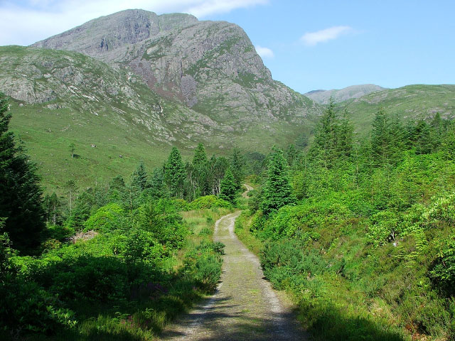
| current | 18:58, 31 January 2010 | | 640 × 480 (162 KB) | commons>GeographBot | == {{int:filedesc}} == {{Information |description={{en|1=Footpath above Achnashellach. This path runs from Achnashellach to Torridon via Coire Lair. The mountain in the near distance is Fuar Tholl, and the mountain in the far distance, with just the top b |
File usage
There are no pages that use this file.