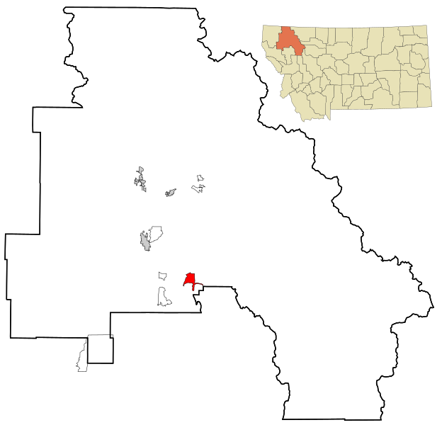
File:Flathead County Montana Incorporated and Unincorporated areas Bigfork Highlighted.svg
Jump to navigation
Jump to search

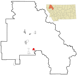
Size of this PNG preview of this SVG file: 624 × 600 pixels. Other resolutions: 250 × 240 pixels | 499 × 480 pixels | 799 × 768 pixels | 1,065 × 1,024 pixels | 2,130 × 2,048 pixels | 1,300 × 1,250 pixels.
Original file (SVG file, nominally 1,300 × 1,250 pixels, file size: 174 KB)
File history
Click on a date/time to view the file as it appeared at that time.
| Date/Time | Thumbnail | Dimensions | User | Comment | |
|---|---|---|---|---|---|
| current | 22:19, 24 October 2007 | | 1,300 × 1,250 (174 KB) | commons>ArkyBot~commonswiki | {{Information |Description=This map shows the incorporated and unincorporated areas in Flathead County, Montana, highlighting Bigfork in red. It was created |
File usage
There are no pages that use this file.