File:FirthofForthmap.png
Jump to navigation
Jump to search

Size of this preview: 800 × 403 pixels. Other resolutions: 320 × 161 pixels | 640 × 323 pixels | 974 × 491 pixels.
Original file (974 × 491 pixels, file size: 12 KB, MIME type: image/png)
File history
Click on a date/time to view the file as it appeared at that time.
| Date/Time | Thumbnail | Dimensions | User | Comment | |
|---|---|---|---|---|---|
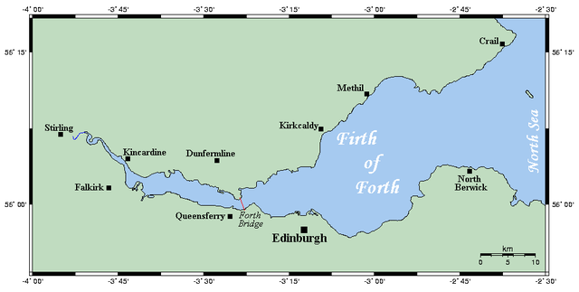
| current | 16:29, 29 September 2006 | | 974 × 491 (12 KB) | commons>Ayack | From [http://en.wikipedia.org/wiki/Image:FirthofForthmap.png] Map of the Firth of Forth on Scotland's east coast. This map's source is [http://www.aquarius.geomar.de/omc/make_map.html here], with the uploader's modifications, and the [http://gmt.soest.ha |
File usage
There are no pages that use this file.