File:Field-Map birdie.jpg
Jump to navigation
Jump to search
Size of this preview: 561 × 599 pixels. Other resolutions: 225 × 240 pixels | 449 × 480 pixels | 719 × 768 pixels | 959 × 1,024 pixels | 1,918 × 2,048 pixels | 2,592 × 2,768 pixels.
Original file (2,592 × 2,768 pixels, file size: 2.76 MB, MIME type: image/jpeg)
File history
Click on a date/time to view the file as it appeared at that time.
| Date/Time | Thumbnail | Dimensions | User | Comment | |
|---|---|---|---|---|---|
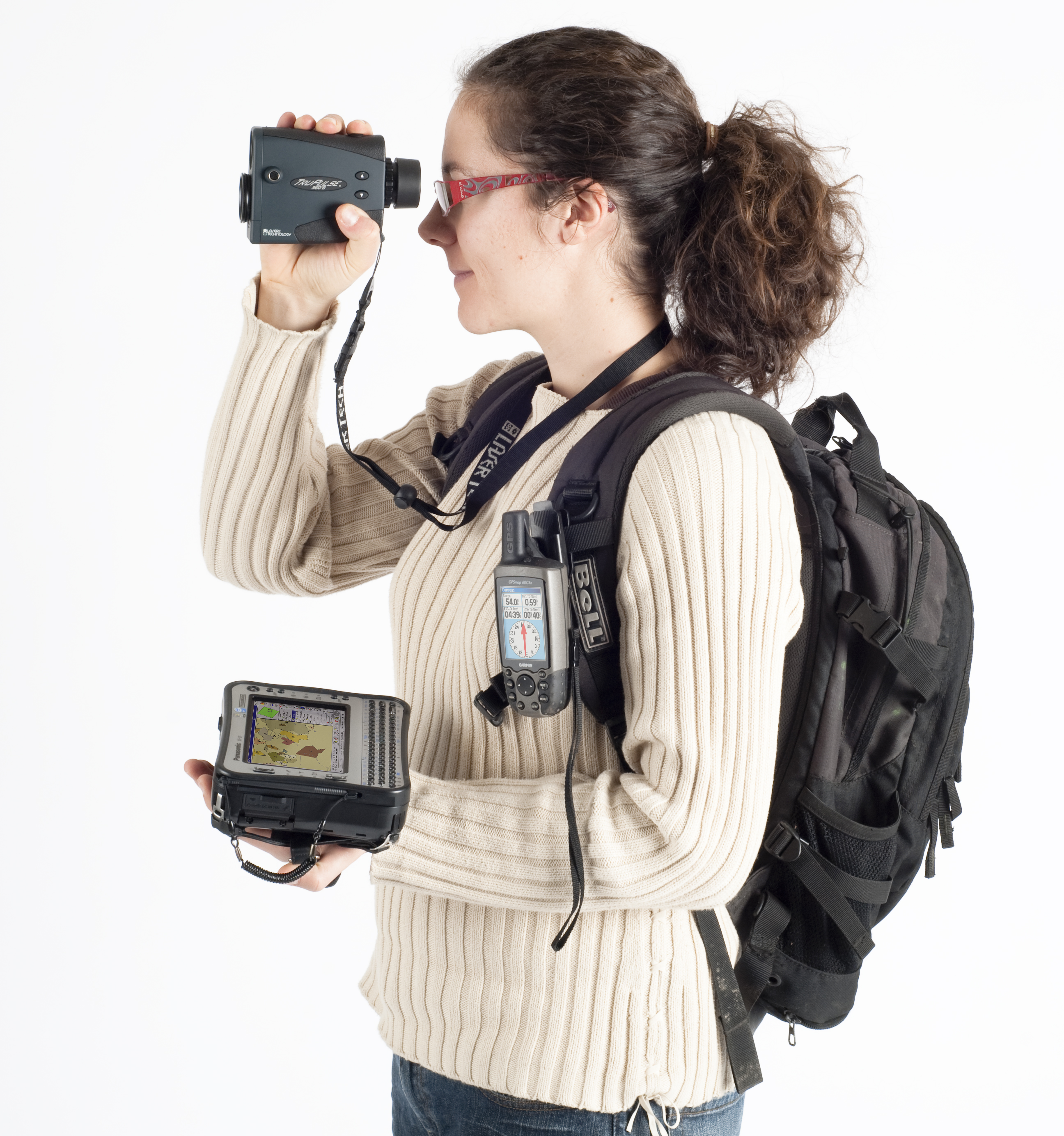
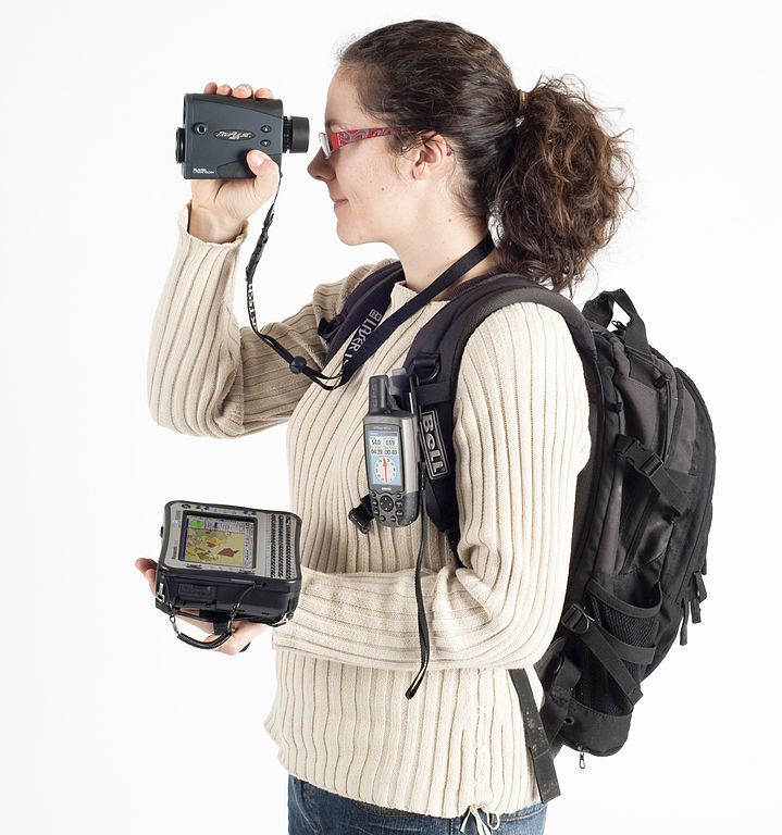
| current | 08:40, 3 July 2010 | | 2,592 × 2,768 (2.76 MB) | commons>Claudiusmm | {{Information |Description={{fr|1=Exemple de la technologie pour les inventaires forestiers (laser télémètre, in-clinomètre, boussole électronique, GPS, ordinateur de terrain) }} {{en|1=Hardware for forest inventories: laser range-finder, GPS, field- |
File usage
There are no pages that use this file.