File:Fall River Map 1812 with text.jpg
Jump to navigation
Jump to search
Size of this preview: 775 × 600 pixels. Other resolutions: 310 × 240 pixels | 620 × 480 pixels | 992 × 768 pixels | 1,280 × 991 pixels | 1,860 × 1,440 pixels.
Original file (1,860 × 1,440 pixels, file size: 405 KB, MIME type: image/jpeg)
File history
Click on a date/time to view the file as it appeared at that time.
| Date/Time | Thumbnail | Dimensions | User | Comment | |
|---|---|---|---|---|---|
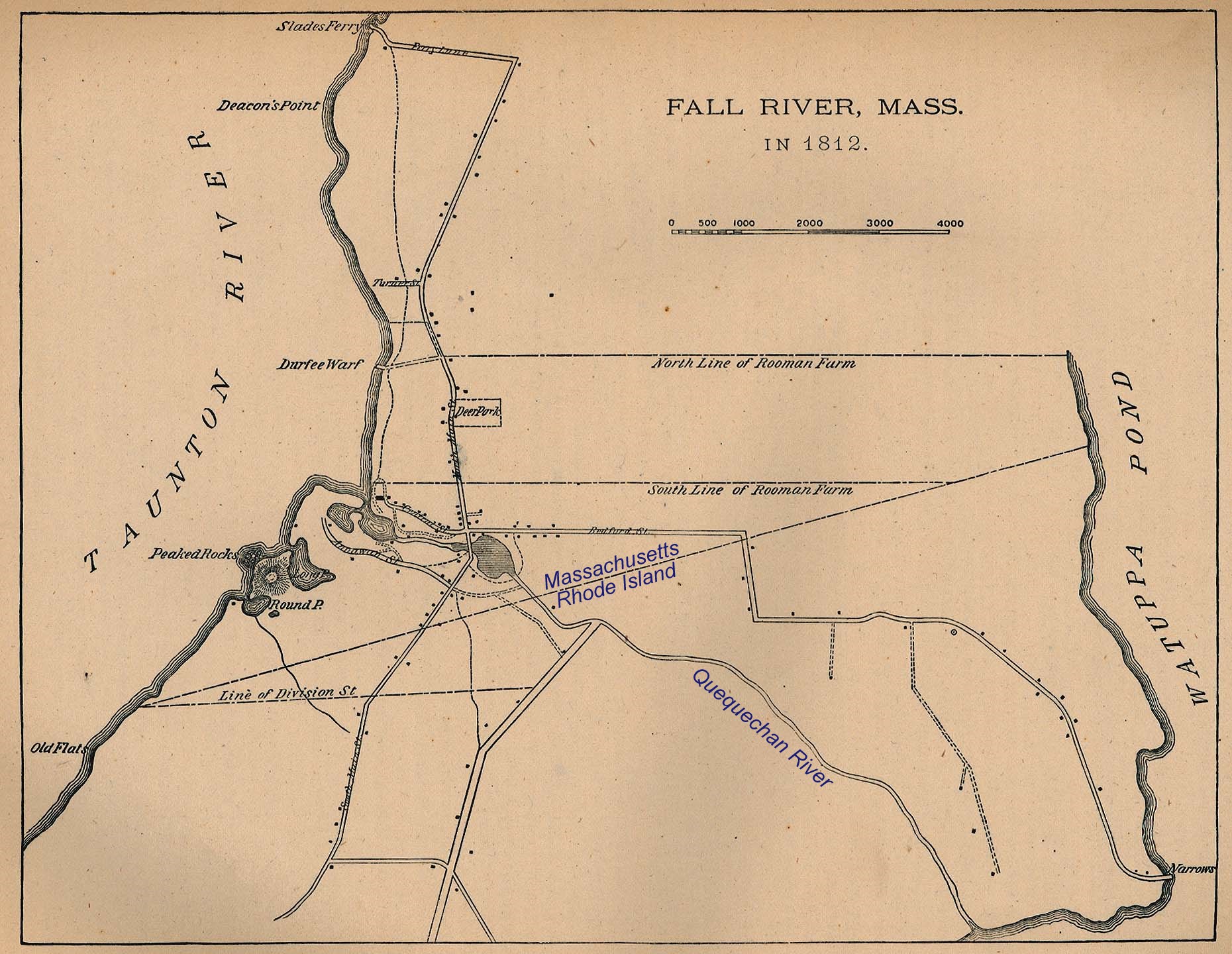
| current | 02:45, 17 November 2010 | | 1,860 × 1,440 (405 KB) | commons>Marcbela | {{Information |Description={{en|1=1812 Map of Fall River, Massachusetts with portion of Tiverton, Rhode Island}} |Source=Cook Borden |Author=Cook Borden |Date=1812 |Permission= |other_versions= }} Category:Fall River, Massachusetts |
File usage
There are no pages that use this file.