File:Europoort osm.png
Jump to navigation
Jump to search

Size of this preview: 800 × 403 pixels. Other resolutions: 320 × 161 pixels | 640 × 323 pixels | 1,345 × 678 pixels.
Original file (1,345 × 678 pixels, file size: 741 KB, MIME type: image/png)
File history
Click on a date/time to view the file as it appeared at that time.
| Date/Time | Thumbnail | Dimensions | User | Comment | |
|---|---|---|---|---|---|
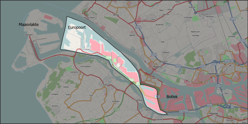
| current | 14:42, 9 November 2007 | | 1,345 × 678 (741 KB) | commons>Mtcv | {{Information |Description=Map of the Europoort harbour area in Dutch municipality of Rotterdam. The background map is taken from Openstreetmap.org. The boundary was drawn by me using the description in the Dutch Europoort article. |Source=Openstreetmap.o |
File usage
There are no pages that use this file.