File:Esterel carte.jpg
Jump to navigation
Jump to search

Size of this preview: 632 × 600 pixels. Other resolutions: 253 × 240 pixels | 506 × 480 pixels | 809 × 768 pixels | 1,079 × 1,024 pixels | 2,000 × 1,898 pixels.
Original file (2,000 × 1,898 pixels, file size: 2.21 MB, MIME type: image/jpeg)
File history
Click on a date/time to view the file as it appeared at that time.
| Date/Time | Thumbnail | Dimensions | User | Comment | |
|---|---|---|---|---|---|
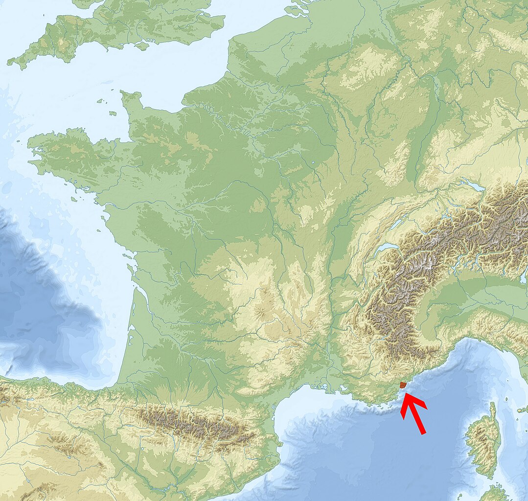
| current | 13:22, 6 March 2011 | | 2,000 × 1,898 (2.21 MB) | commons>Geraud86 | {{Information |Description ={{fr|1=Localisation du massif de l'Estérel}} {{en|1=Localisation of the massif de l'Estérel}} |Source ={{own}} from [User:Sting|Sting]] topographic map of France |Author =Geraud86 |Da |
File usage
There are no pages that use this file.