File:Equatorial Guinea, administrative divisions - de - colored 2020.svg
Jump to navigation
Jump to search

Size of this PNG preview of this SVG file: 628 × 600 pixels. Other resolutions: 251 × 240 pixels | 503 × 480 pixels | 804 × 768 pixels | 1,072 × 1,024 pixels | 2,144 × 2,048 pixels | 1,091 × 1,042 pixels.
Original file (SVG file, nominally 1,091 × 1,042 pixels, file size: 194 KB)
File history
Click on a date/time to view the file as it appeared at that time.
| Date/Time | Thumbnail | Dimensions | User | Comment | |
|---|---|---|---|---|---|
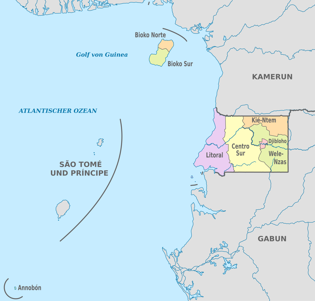
| current | 19:53, 25 November 2020 | | 1,091 × 1,042 (194 KB) | commons>NordNordWest | == {{int:filedesc}} == {{Information |Description={{de|Karte der politischen Gliederung von Äquatorialguinea, Stand 2020}} {{en|Map of the administrative divisions of Equatorial Guinee}} |Source={{own}} |date=2020-11-25 |author={{U|NordNordWest}} |permission= |other_versions={{SVG labeled maps of administrative divisions (location map scheme)}} }} == {{int:license-header}} == {{User:NordNordWest/LicenceMap}} [[Category:SVG labeled maps of administrative divisions of Equatorial Guinea (locat... |
File usage
There are no pages that use this file.