File:Ecuador Galápagos Islands location map.svg
Jump to navigation
Jump to search

Size of this PNG preview of this SVG file: 529 × 600 pixels. Other resolutions: 212 × 240 pixels | 423 × 480 pixels | 677 × 768 pixels | 903 × 1,024 pixels | 1,806 × 2,048 pixels | 850 × 964 pixels.
Original file (SVG file, nominally 850 × 964 pixels, file size: 45 KB)
File history
Click on a date/time to view the file as it appeared at that time.
| Date/Time | Thumbnail | Dimensions | User | Comment | |
|---|---|---|---|---|---|
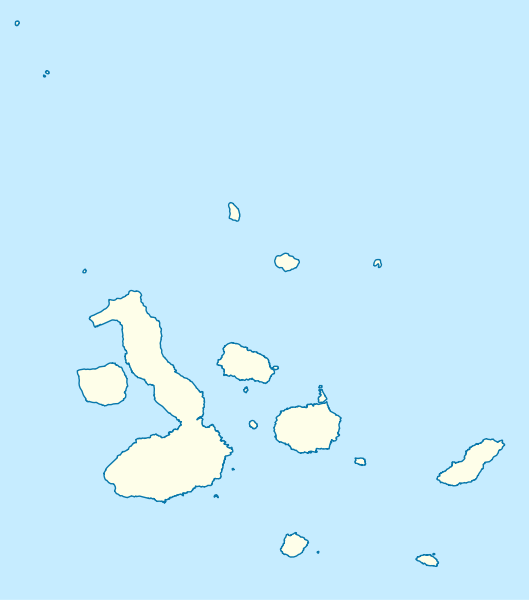
| current | 14:32, 2 March 2009 | | 850 × 964 (45 KB) | commons>NordNordWest | {{Information |Description= {{de|Positionskarte der Galápagos-Inseln, Ecuador}} Quadratische Plattkarte. Geographische Begrenzung der Karte: * N: 1.8° N * S: 1.6° S * W: 92.1° W * O: 89.1° W {{en|Location map |
File usage
There are no pages that use this file.