File:Eastern New Orleans Louisiana Map Little Woods 1935.jpg
Jump to navigation
Jump to search

Size of this preview: 505 × 600 pixels. Other resolutions: 202 × 240 pixels | 404 × 480 pixels | 647 × 768 pixels | 862 × 1,024 pixels | 2,350 × 2,790 pixels.
Original file (2,350 × 2,790 pixels, file size: 1.6 MB, MIME type: image/jpeg)
File history
Click on a date/time to view the file as it appeared at that time.
| Date/Time | Thumbnail | Dimensions | User | Comment | |
|---|---|---|---|---|---|
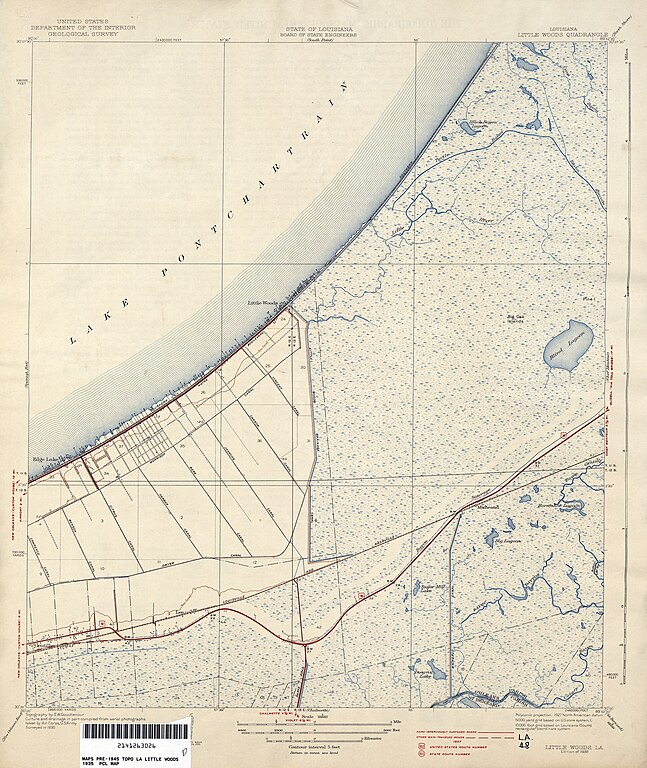
| current | 20:33, 19 June 2012 | | 2,350 × 2,790 (1.6 MB) | commons>Infrogmation | {{Information |Description= 1935 map of portion of eastern New Orleans lakefront around Little Woods. |Source= U.S. Geological Survey map, 1935, via [http://www.lib.utexas.edu/maps/topo/louisiana/] |Date=1935 |Author=U.S. Geological Survey |Permission... |
File usage
There are no pages that use this file.