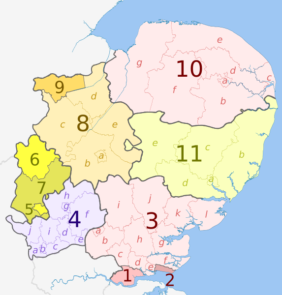
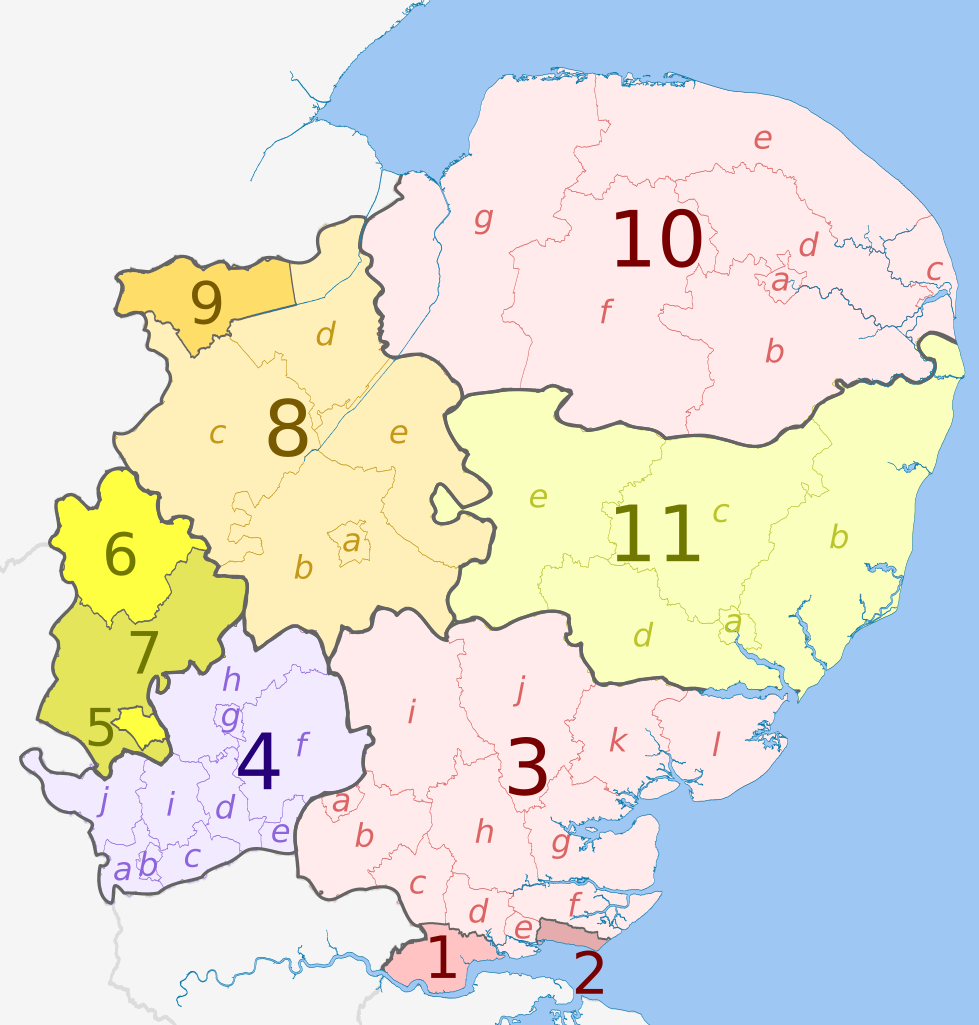
File:East of England counties 2019 map.svg
Jump to navigation
Jump to search

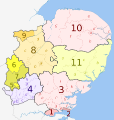
Size of this PNG preview of this SVG file: 573 × 600 pixels. Other resolutions: 229 × 240 pixels | 459 × 480 pixels | 734 × 768 pixels | 979 × 1,024 pixels | 1,957 × 2,048 pixels | 1,210 × 1,266 pixels.
Original file (SVG file, nominally 1,210 × 1,266 pixels, file size: 2.26 MB)
File history
Click on a date/time to view the file as it appeared at that time.
| Date/Time | Thumbnail | Dimensions | User | Comment | |
|---|---|---|---|---|---|
| current | 20:32, 28 May 2023 | | 1,210 × 1,266 (2.26 MB) | commons>Dr Greg | Uploaded a work by * ''East of England counties 2009 map.svg'': Dr Greg and Nilfanion, contains Ordnance Survey data * derivative work: Dr Greg from {{Derived from|East of England counties 2009 map.svg|display=50}} with UploadWizard |
File usage
There are no pages that use this file.