File:East Staffordshire UK locator map.svg
Jump to navigation
Jump to search

Size of this PNG preview of this SVG file: 470 × 599 pixels. Other resolutions: 188 × 240 pixels | 377 × 480 pixels | 603 × 768 pixels | 803 × 1,024 pixels | 1,607 × 2,048 pixels | 1,024 × 1,305 pixels.
Original file (SVG file, nominally 1,024 × 1,305 pixels, file size: 1.03 MB)
File history
Click on a date/time to view the file as it appeared at that time.
| Date/Time | Thumbnail | Dimensions | User | Comment | |
|---|---|---|---|---|---|
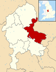
| current | 20:28, 12 August 2011 | | 1,024 × 1,305 (1.03 MB) | commons>Renly~commonswiki | {{Information |Description=Map of Staffordshire, with East Staffordshire highlighted. |Source=*Staffordshire UK district map (blank).svg |Date=2011-08-12 20:28 (UTC) |Author=*[[:File:Staffordshire UK dis |
.svg)
File usage
There are no pages that use this file.