File:Ealing London UK location map.svg
Jump to navigation
Jump to search

Size of this PNG preview of this SVG file: 800 × 554 pixels. Other resolutions: 320 × 221 pixels | 640 × 443 pixels | 1,024 × 709 pixels | 1,280 × 886 pixels | 2,560 × 1,771 pixels | 1,425 × 986 pixels.
Original file (SVG file, nominally 1,425 × 986 pixels, file size: 3.88 MB)
File history
Click on a date/time to view the file as it appeared at that time.
| Date/Time | Thumbnail | Dimensions | User | Comment | |
|---|---|---|---|---|---|
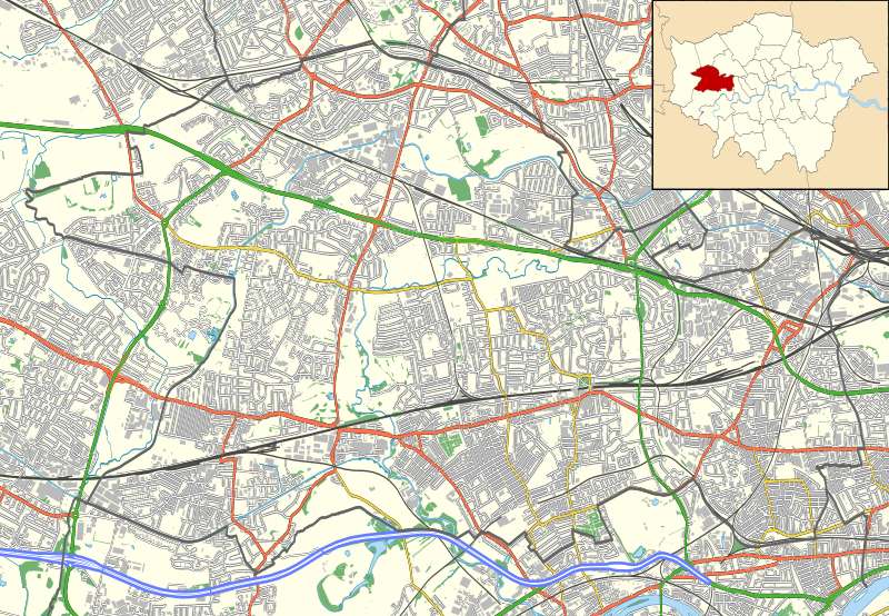
| current | 23:01, 15 November 2011 | | 1,425 × 986 (3.88 MB) | commons>Nilfanion | {{Information |Description=Location map of the London Borough of Ealing with the following information shown: *{{legend|#646464|Ward boundaries}} *{{legend|#667fff|Motorways}} *{{legend|#4cb336|Primary routes}} *{{legend|#fc |
File usage
There are no pages that use this file.