File:Dyfed Archaeological Trust Area Map.svg
Jump to navigation
Jump to search

Size of this PNG preview of this SVG file: 501 × 599 pixels. Other resolutions: 201 × 240 pixels | 401 × 480 pixels | 642 × 768 pixels | 856 × 1,024 pixels | 1,713 × 2,048 pixels | 981 × 1,173 pixels.
Original file (SVG file, nominally 981 × 1,173 pixels, file size: 1.19 MB)
File history
Click on a date/time to view the file as it appeared at that time.
| Date/Time | Thumbnail | Dimensions | User | Comment | |
|---|---|---|---|---|---|
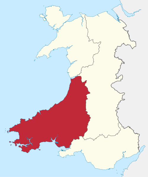
| current | 14:31, 7 August 2021 | | 981 × 1,173 (1.19 MB) | commons>Pembs99 | == {{int:filedesc}} == {{Information |Description= Map of the Dyfed Archaeological Trusts area |Source=Own work derived from File:Comtés du pays de Galles (1974-1996).svg |Date=2021-08-07 |Author=Sémhur / Own Work |Permission=CC-BY-SA 3.0 |other_fields={{Credit line |Author = © Sémhur |Other = Wikimedia Commons |License = CC-BY-SA-3.0}} |other_versions= }} == {{int:license-header}} == {{cc-by-sa-3.0}} |
.svg)
File usage
There are no pages that use this file.