File:Dominican Republic relief location map.jpg
Jump to navigation
Jump to search

Size of this preview: 737 × 599 pixels. Other resolutions: 295 × 240 pixels | 590 × 480 pixels | 945 × 768 pixels | 1,259 × 1,024 pixels | 1,338 × 1,088 pixels.
Original file (1,338 × 1,088 pixels, file size: 403 KB, MIME type: image/jpeg)
File history
Click on a date/time to view the file as it appeared at that time.
| Date/Time | Thumbnail | Dimensions | User | Comment | |
|---|---|---|---|---|---|
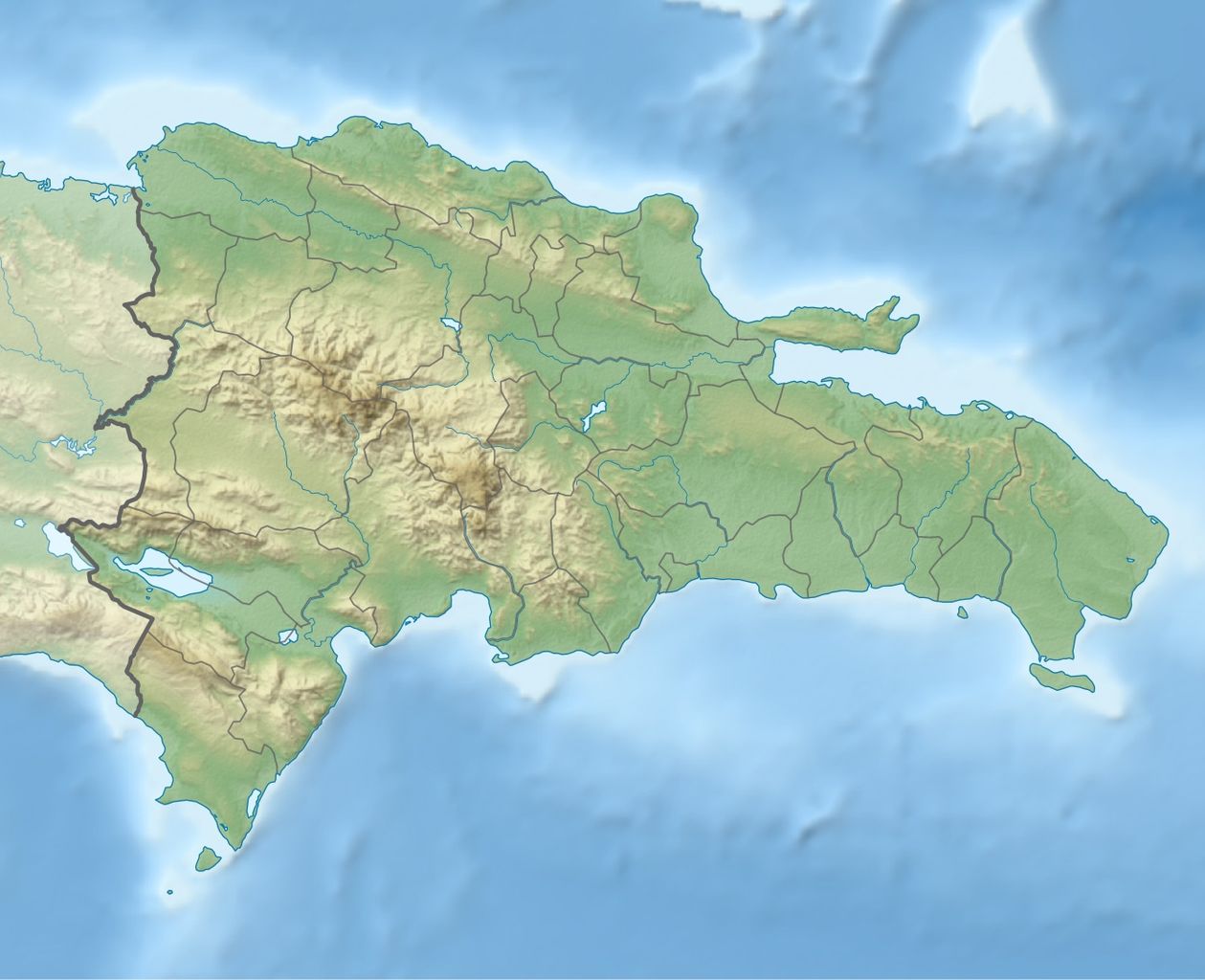
| current | 17:36, 8 February 2010 | | 1,338 × 1,088 (403 KB) | commons>Alexrk2 | == Summary == {{Information |Description= {{de|Physische Positionskarte Dominikanische Republik mit Provinzen, Quadratische Plattkarte, N-S-Streckung 105 %. Geographische Begrenzung der Karte:}} {{en|Physical Location map |
File usage
There are no pages that use this file.