File:Dmvw-map.png
Jump to navigation
Jump to search
Size of this preview: 800 × 463 pixels. Other resolutions: 320 × 185 pixels | 640 × 371 pixels | 1,024 × 593 pixels | 1,280 × 742 pixels | 1,978 × 1,146 pixels.
Original file (1,978 × 1,146 pixels, file size: 3.65 MB, MIME type: image/png)
File history
Click on a date/time to view the file as it appeared at that time.
| Date/Time | Thumbnail | Dimensions | User | Comment | |
|---|---|---|---|---|---|
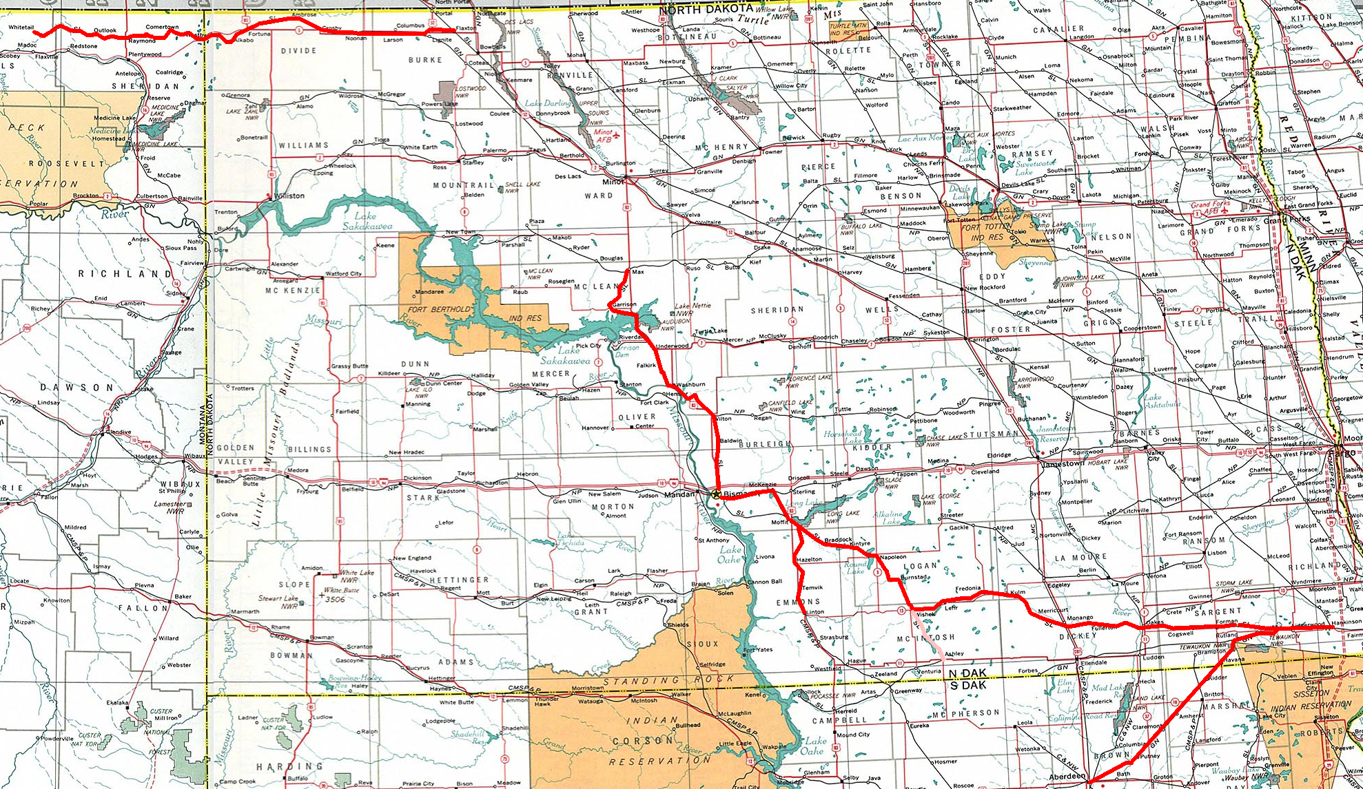
| current | 19:25, 17 October 2006 | | 1,978 × 1,146 (3.65 MB) | commons>Liesel | {{Information |Description=Map of the Dakota, Missouri Valley and Western RR. |Source=Based on a map from National Atlas 1970 |Date= |Author=Liesel |Permission= |other_versions= }} |
File usage
There are no pages that use this file.