File:Districts of the Bono East Region (2019).png
Jump to navigation
Jump to search

Size of this preview: 800 × 556 pixels. Other resolutions: 320 × 222 pixels | 640 × 445 pixels | 1,024 × 711 pixels | 1,438 × 999 pixels.
Original file (1,438 × 999 pixels, file size: 363 KB, MIME type: image/png)
.png)
File history
Click on a date/time to view the file as it appeared at that time.
| Date/Time | Thumbnail | Dimensions | User | Comment | |
|---|---|---|---|---|---|
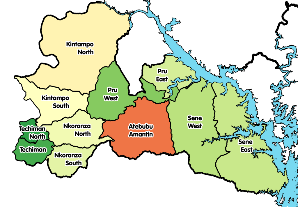
| current | 18:06, 19 March 2021 | | 1,438 × 999 (363 KB) | commons>Jakob Gottfried | {{Information |Description=Map showing the districts of the Bono East Region of Ghana in 2019. |Source={{own}} |Date=2021-03-16 |Author= *Derivative work: User:Jakob Gottfried *Original work: User:Macabe5387 |Permission= |other_versions= }} Category:Maps of the Bono East Region |
File usage
There are no pages that use this file.
.png)