File:Districts of Serbia.png
Jump to navigation
Jump to search

Size of this preview: 420 × 599 pixels. Other resolutions: 168 × 240 pixels | 336 × 480 pixels | 538 × 768 pixels | 717 × 1,024 pixels | 1,824 × 2,603 pixels.
Original file (1,824 × 2,603 pixels, file size: 445 KB, MIME type: image/png)

Summary
.png)
.png)


.png)
Licensing
| I, the copyright holder of this work, release this work into the public domain. This applies worldwide. In some countries this may not be legally possible; if so: I grant anyone the right to use this work for any purpose, without any conditions, unless such conditions are required by law. |
Original upload log
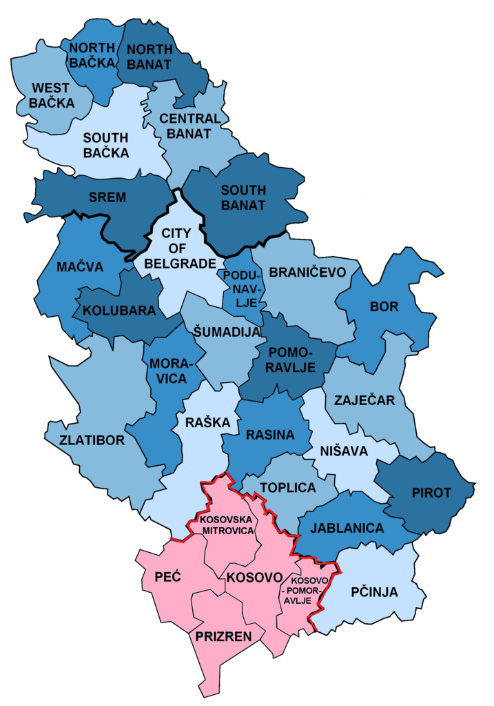
This image is a derivative work of the following images:
- File:Disricts_of_Serbia_by_population_density.svg licensed with PD-self
- 2010-04-25T18:39:42Z Алексей Глушков 765x1060 (47381 Bytes) {{Information |Description={{en|1=Map of disricts of Serbia by population density}} {{sr|1=Карта округа Србија на густини становништва}} |Source=Own work |Author=Gajmar at [http://ru.wiki
Uploaded with derivativeFX
File history
Click on a date/time to view the file as it appeared at that time.
| Date/Time | Thumbnail | Dimensions | User | Comment | |
|---|---|---|---|---|---|
| current | 08:02, 24 February 2022 | | 1,824 × 2,603 (445 KB) | commons>Túrelio | Reverted to version as of 11:37, 2 October 2021 (UTC), as violation of COM:OW |
File usage
There are no pages that use this file.