File:Derelict mill east of Castletown (geograph 3594671).jpg
Jump to navigation
Jump to search

Size of this preview: 800 × 536 pixels. Other resolutions: 320 × 214 pixels | 640 × 428 pixels | 1,024 × 685 pixels | 1,280 × 857 pixels | 2,560 × 1,714 pixels | 3,872 × 2,592 pixels.
Original file (3,872 × 2,592 pixels, file size: 4.27 MB, MIME type: image/jpeg)
.jpg)
File history
Click on a date/time to view the file as it appeared at that time.
| Date/Time | Thumbnail | Dimensions | User | Comment | |
|---|---|---|---|---|---|
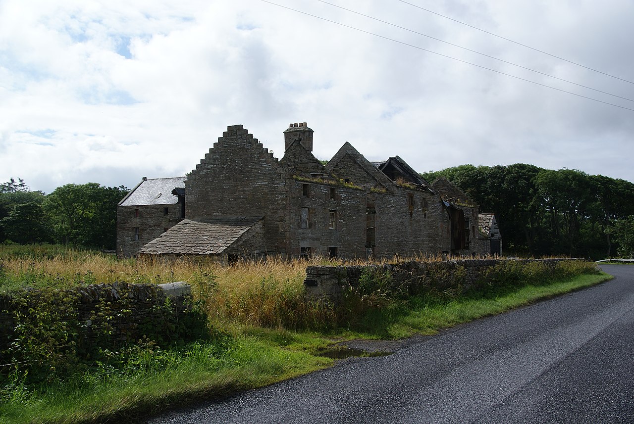
| current | 16:00, 25 September 2021 | | 3,872 × 2,592 (4.27 MB) | commons>Craobh àrd | == {{int:filedesc}} == {{Information |Description={{en|1=Derelict mill east of Castletown}} |Source=From [https://www.geograph.org.uk/photo/3594671 geograph.org.uk] |Date=2013-08-07 |Author=[https://www.geograph.org.uk/profile/42541 Bill Boaden] |Permission=Creative Commons Attribution Share-alike license 2.0 |Other fields={{Credit line |Author=Bill Boaden |License=[https://creativecommons.org/licenses/by-sa/2.0/ CC BY-SA 2.0] |Other=''Derelict mill east of Castletown'' }} }} {{Location|5... |
File usage
There are no pages that use this file.
.jpg)