File:Delano Municipal Airport - USGS Topo.jpg
Jump to navigation
Jump to search
Size of this preview: 600 × 600 pixels. Other resolutions: 240 × 240 pixels | 480 × 480 pixels | 768 × 768 pixels.
Original file (768 × 768 pixels, file size: 157 KB, MIME type: image/jpeg)
File history
Click on a date/time to view the file as it appeared at that time.
| Date/Time | Thumbnail | Dimensions | User | Comment | |
|---|---|---|---|---|---|
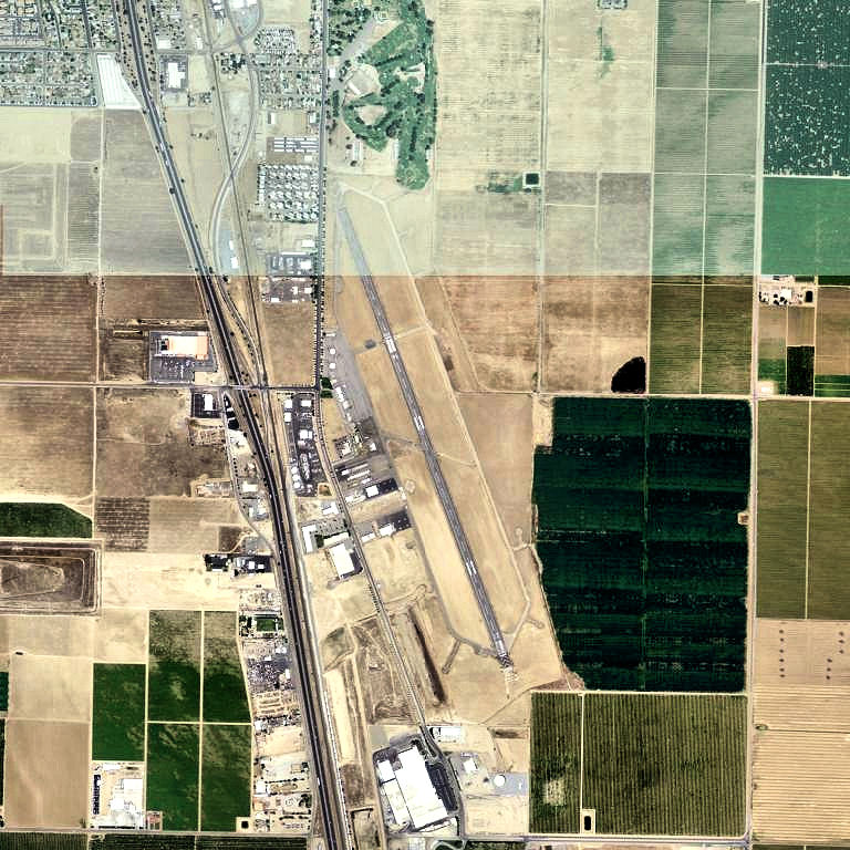
| current | 16:42, 2 November 2011 | | 768 × 768 (157 KB) | commons>Bwmoll3 | {{Information |Description ={{en|1=Delano Municipal Airport - USGS Topo}} |Source =http://www.topoquest.com/map.php?lat=35.74556&lon=-119.23639&datum=nad83&zoom=4&map=sat1m&coord=d&mode=zoomin&size=l |Author =US Geological Survey |Date |
File usage
There are no pages that use this file.