File:Deception-Island-Map.jpg
Jump to navigation
Jump to search

Size of this preview: 378 × 600 pixels. Other resolutions: 151 × 240 pixels | 302 × 480 pixels | 484 × 768 pixels | 645 × 1,024 pixels | 1,302 × 2,065 pixels.
Original file (1,302 × 2,065 pixels, file size: 499 KB, MIME type: image/jpeg)
File history
Click on a date/time to view the file as it appeared at that time.
| Date/Time | Thumbnail | Dimensions | User | Comment | |
|---|---|---|---|---|---|
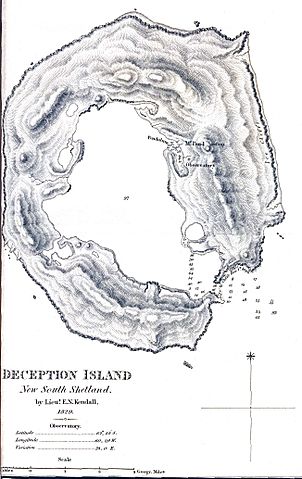
| current | 11:31, 11 November 2009 | | 1,302 × 2,065 (499 KB) | commons>4ing | {{Information |Description={{en|1=Map created on the first scientific expedition to Deception Island in 1829 under the command of captain Henry Foster.}} |Source=http://mappery.com/fullsize-name/Deception-Island-Map |Author=Lieut. E.N. Kendall |Date=1829 |
File usage
There are no pages that use this file.