File:Département Eure Arrondissement 2019.png
Jump to navigation
Jump to search

Size of this preview: 792 × 599 pixels. Other resolutions: 317 × 240 pixels | 634 × 480 pixels | 1,015 × 768 pixels | 1,280 × 969 pixels | 2,500 × 1,892 pixels.
Original file (2,500 × 1,892 pixels, file size: 944 KB, MIME type: image/png)
File history
Click on a date/time to view the file as it appeared at that time.
| Date/Time | Thumbnail | Dimensions | User | Comment | |
|---|---|---|---|---|---|
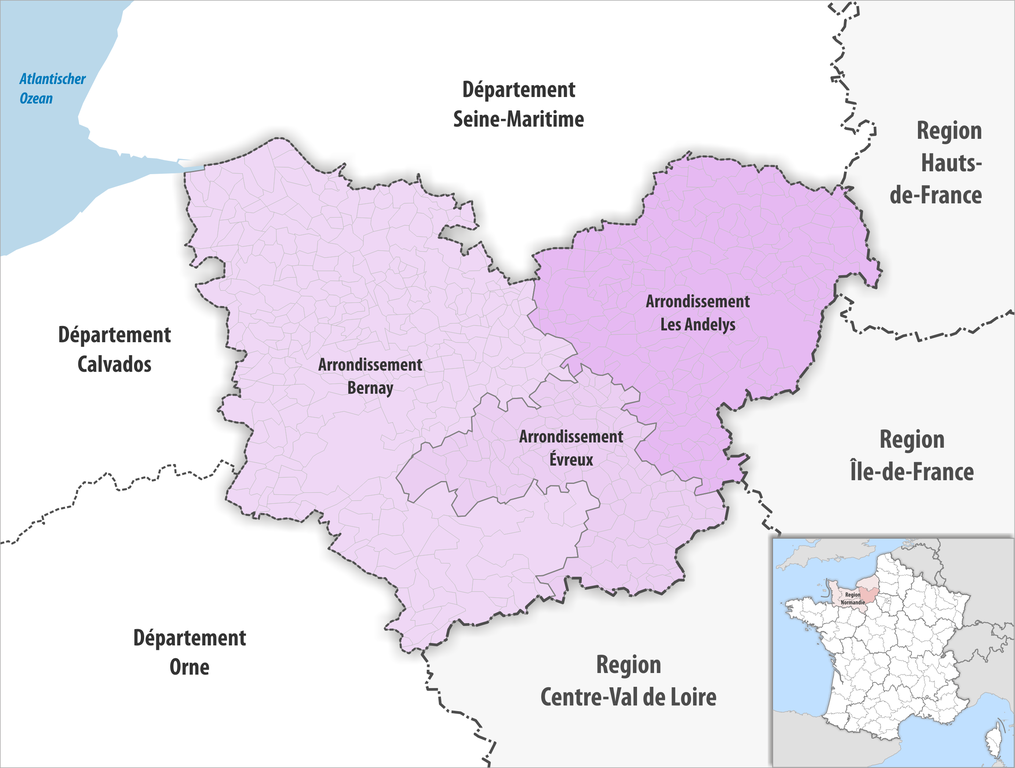
| current | 08:47, 4 June 2019 | | 2,500 × 1,892 (944 KB) | commons>Tschubby | {{Information |Description= {{de|Gemeinden und Arrondissemente im Departement Eure}} |Source={{own}} |Date= 2019-01-01 |Author= Tschubby |Permission= {{self|GFDL|Cc-by-sa-3.0-migrated|Cc-by-sa-2.5,2.0,1.0}} |other_versions= }} Category:Maps of arrondissements of Eure |
File usage
There are no pages that use this file.