File:Cupressus nootkatensis 43603.jpg
Jump to navigation
Jump to search
Size of this preview: 800 × 600 pixels. Other resolutions: 320 × 240 pixels | 640 × 480 pixels | 1,024 × 768 pixels | 1,280 × 960 pixels | 2,560 × 1,920 pixels.
Original file (2,560 × 1,920 pixels, file size: 1.84 MB, MIME type: image/jpeg)
Summary
| Description |
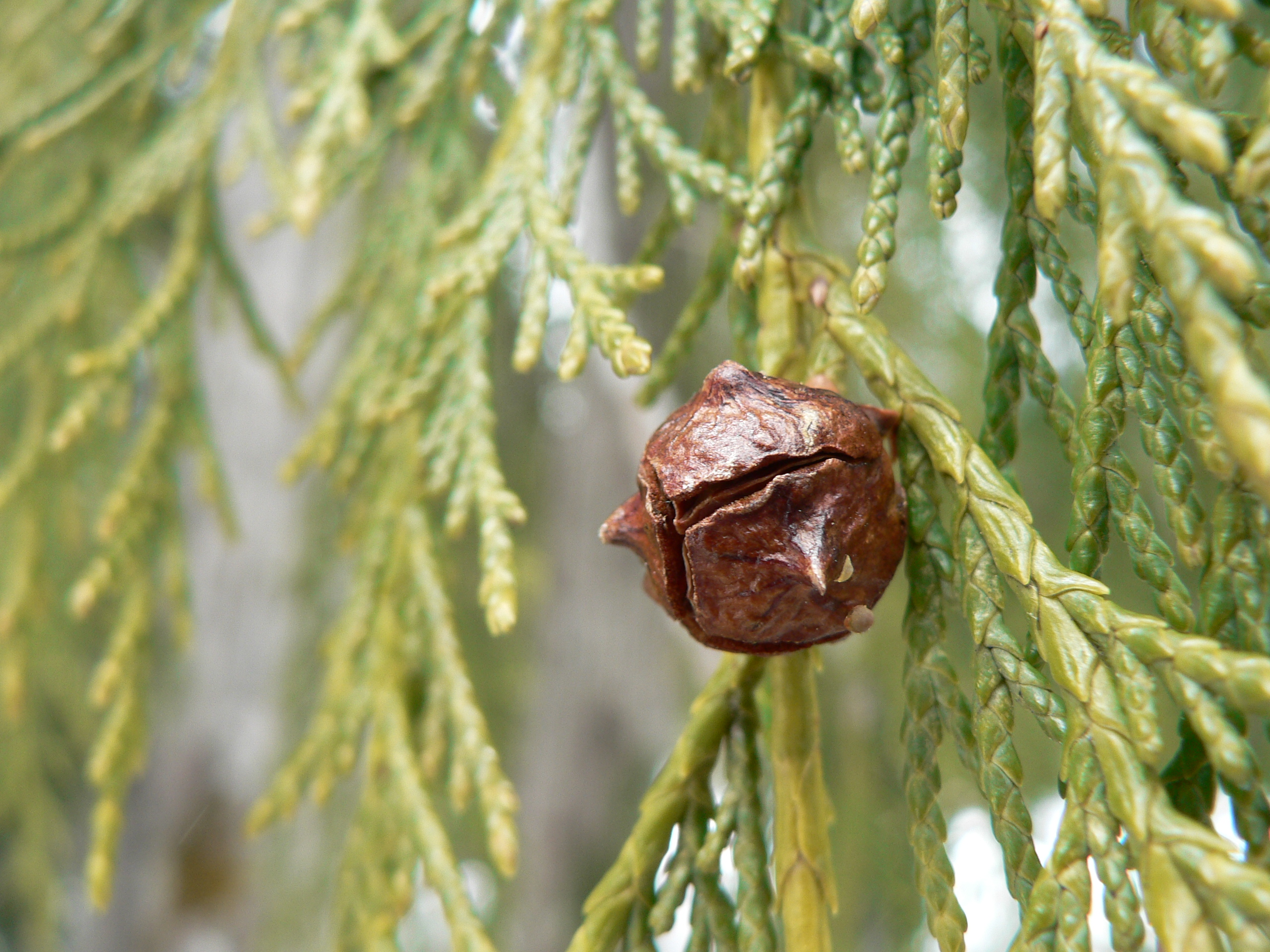
Cupressus nootkatensis (syn. Callitropsis nootkatensis) English: Nootka Cypress, Yellow Cypress, Alaska Cypress; female cone |
| Date | 30 May 2008, 14:19:41 −07:00 |
| Source | Own work |
| Author | Walter Siegmund (talk) |
| Camera location | | View this and other nearby images on: OpenStreetMap |
|---|
- Location source: Garmin GPSmap 60CSx
- Location Datum: WGS84
- Viewpoint location: Mount Higgins Trail #640, Mount Baker-Snoqualmie National Forest
- Viewpoint elevation: 1118 meter (3669 ft)
- Camera: Panasonic DMC-FZ5
- Exposure Time: 1/160
- F Number: f/3.2
- Focal Length: 6.0
- Focal Length In 35mm Film: 36
- ISO Speed Rating: 80
©2008 Walter Siegmund
Licensing
I, the copyright holder of this work, hereby publish it under the following licenses:

|
Permission is granted to copy, distribute and/or modify this document under the terms of the GNU Free Documentation License, Version 1.2 or any later version published by the Free Software Foundation; with no Invariant Sections, no Front-Cover Texts, and no Back-Cover Texts. A copy of the license is included in the section entitled GNU Free Documentation License. |
This file is licensed under the Creative Commons Attribution-Share Alike 3.0 Unported, 2.5 Generic, 2.0 Generic and 1.0 Generic license.
- You are free:
- to share – to copy, distribute and transmit the work
- to remix – to adapt the work
- Under the following conditions:
- attribution – You must give appropriate credit, provide a link to the license, and indicate if changes were made. You may do so in any reasonable manner, but not in any way that suggests the licensor endorses you or your use.
- share alike – If you remix, transform, or build upon the material, you must distribute your contributions under the same or compatible license as the original.
You may select the license of your choice.
File history
Click on a date/time to view the file as it appeared at that time.
| Date/Time | Thumbnail | Dimensions | User | Comment | |
|---|---|---|---|---|---|
| current | 23:47, 7 June 2008 | | 2,560 × 1,920 (1.84 MB) | commons>Wsiegmund | {{Information |Description=Mount Higgins Trail #640, Mount Baker-Snoqualmie National Forest |Source=Own work |Date=2008:05:30 |Author=Walter Siegmund (talk) |Permission=Own work, attribution |
File usage
There are no pages that use this file.