File:Craven District-Yorkshire-map-Govt outline since 1974.jpg
Jump to navigation
Jump to search
Size of this preview: 788 × 600 pixels. Other resolutions: 315 × 240 pixels | 631 × 480 pixels | 1,009 × 768 pixels | 1,039 × 791 pixels.
Original file (1,039 × 791 pixels, file size: 296 KB, MIME type: image/jpeg)
File history
Click on a date/time to view the file as it appeared at that time.
| Date/Time | Thumbnail | Dimensions | User | Comment | |
|---|---|---|---|---|---|
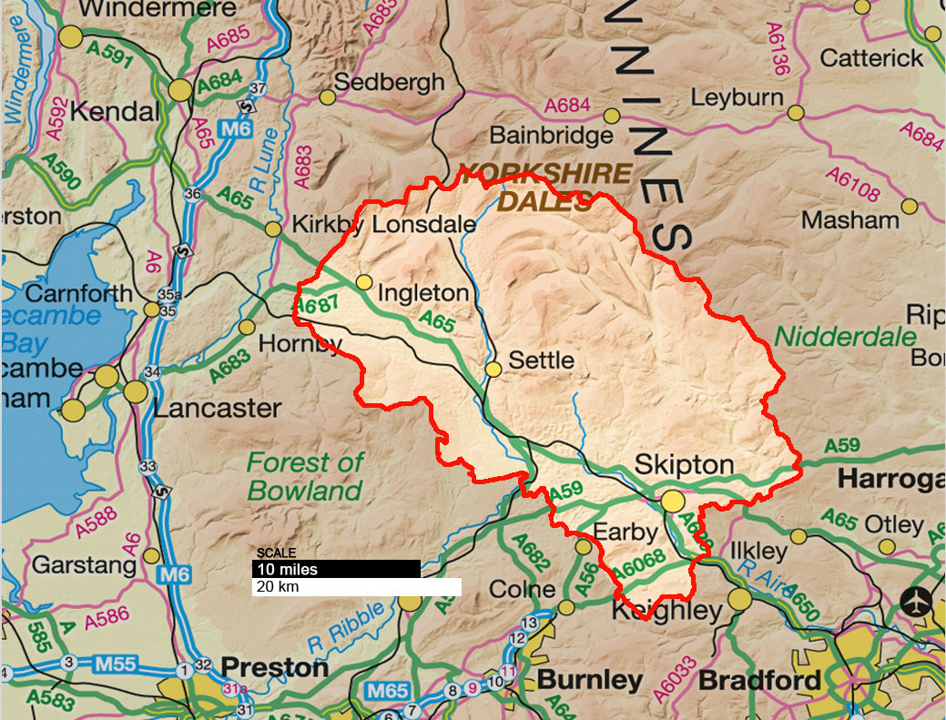
| current | 03:57, 28 November 2010 | | 1,039 × 791 (296 KB) | commons>Kildwyke | {{Information |Description={{en|1=The Craven local government district in North Yorkshire, England, was redefined in 1974.}} |Source=*File:Craven_District-Yorkshire-map-roads.jpg |Date=2010-11-28 03:23 (UTC) |Author=* Artwork: davidkidd.net * Ordnan |
File usage
There are no pages that use this file.