File:Colonisation 1754.png

Original file (1,799 × 789 pixels, file size: 144 KB, MIME type: image/png)
| Description |
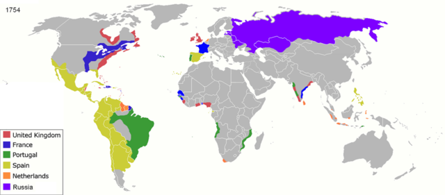
Map of major world powers by year, derived from public domain animated map on wikipedia.
As the orriginal licence of the animation was Public Domain, this image which has been derived from it is too:
|
||||||||||||||||||
| Date | |||||||||||||||||||
| Source | public domain animated map by ArdadN here | ||||||||||||||||||
| Author | ArdadN | ||||||||||||||||||
| Other versions |
|
||||||||||||||||||

.jpg)
._LOC_2001620596.jpg)
File history
Click on a date/time to view the file as it appeared at that time.
| Date/Time | Thumbnail | Dimensions | User | Comment | |
|---|---|---|---|---|---|
| current | 23:55, 17 March 2022 | | 1,799 × 789 (144 KB) | commons>M.Bitton | per https://commons.wikimedia.org/w/index.php?title=Commons:Graphic_Lab/Map_workshop&oldid=640501111#Wrong_borders |
File usage
There are no pages that use this file.