File:Colonial Africa 1913 German East Africa map.svg
Jump to navigation
Jump to search

Size of this PNG preview of this SVG file: 644 × 600 pixels. Other resolutions: 258 × 240 pixels | 515 × 480 pixels | 824 × 768 pixels | 1,099 × 1,024 pixels | 2,198 × 2,048 pixels | 1,390 × 1,295 pixels.
Original file (SVG file, nominally 1,390 × 1,295 pixels, file size: 570 KB)
File history
Click on a date/time to view the file as it appeared at that time.
| Date/Time | Thumbnail | Dimensions | User | Comment | |
|---|---|---|---|---|---|
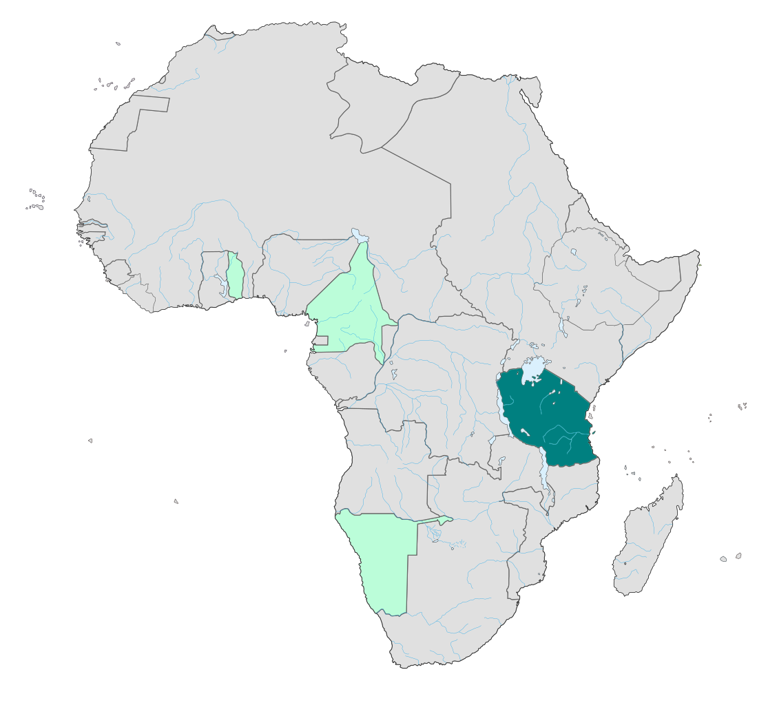
| current | 21:45, 19 November 2010 | | 1,390 × 1,295 (570 KB) | commons>P. S. Burton | {{Information |Description={{en|Map of German possessions in colonial Africa as in 1913. German East Africa highlighted.<br/>''Note :'' The limits of the areas of control may not be perfectly accurate due to the imprecision of the reference maps.}} |Sour |
File usage
There are no pages that use this file.