File:Coalhouse Fort in Thames Estuary map.png
Jump to navigation
Jump to search
Size of this preview: 800 × 305 pixels. Other resolutions: 320 × 122 pixels | 1,144 × 436 pixels.
Original file (1,144 × 436 pixels, file size: 10 KB, MIME type: image/png)
File history
Click on a date/time to view the file as it appeared at that time.
| Date/Time | Thumbnail | Dimensions | User | Comment | |
|---|---|---|---|---|---|
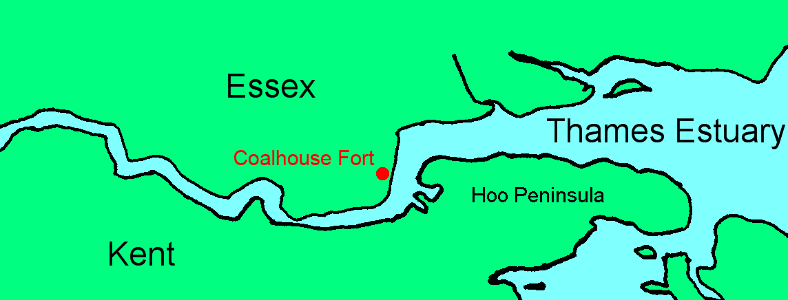
| current | 22:49, 2 June 2017 | 1,144 × 436 (10 KB) | commons>Prioryman | Annotated Hoo Peninsula |
File usage
There are no pages that use this file.