File:Clifton and Hot Wells 1833.jpg
Jump to navigation
Jump to search

Size of this preview: 800 × 393 pixels. Other resolutions: 320 × 157 pixels | 640 × 314 pixels | 1,024 × 503 pixels | 1,280 × 629 pixels | 2,560 × 1,257 pixels | 4,272 × 2,098 pixels.
Original file (4,272 × 2,098 pixels, file size: 11.96 MB, MIME type: image/jpeg)
Summary
| Description |
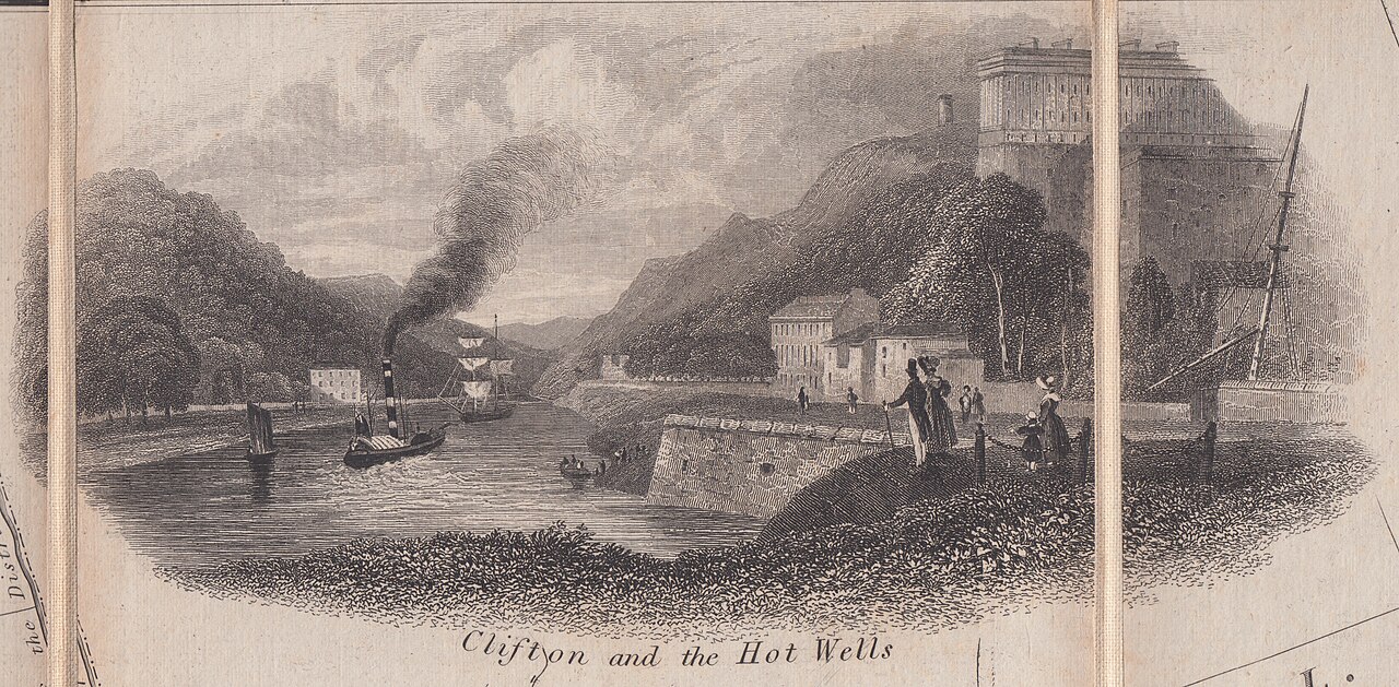
English: Detail taken from a foldable 'walking map' of Bristol reduced from an original 1828 survey of the late George C. Ashmead. Published in 1833 with the individual sheets pasted on a cloth backing. The scene is looking down the Avon Gorge. |
| Date | |
| Source | Plan of Bristol and its suburbs (1833) |
| Author | George C. Ashmead |
Licensing
|
This work is in the public domain in its country of origin and other countries and areas where the copyright term is the author's life plus 70 years or fewer. This work is in the public domain in the United States because it was published (or registered with the U.S. Copyright Office) before January 1, 1929. | |
| This file has been identified as being free of known restrictions under copyright law, including all related and neighboring rights. | |
File history
Click on a date/time to view the file as it appeared at that time.
| Date/Time | Thumbnail | Dimensions | User | Comment | |
|---|---|---|---|---|---|
| current | 09:37, 13 May 2023 | | 4,272 × 2,098 (11.96 MB) | commons>Evan T Jones | Uploaded a work by George C. Ashmead from Plan of Bristol and its suburbs (1833) with UploadWizard |
File usage
There are no pages that use this file.