File:Clearwaterwamap.png
Jump to navigation
Jump to search

Size of this preview: 694 × 599 pixels. Other resolutions: 278 × 240 pixels | 556 × 480 pixels | 890 × 768 pixels | 1,186 × 1,024 pixels | 2,292 × 1,979 pixels.
Original file (2,292 × 1,979 pixels, file size: 1.76 MB, MIME type: image/png)
File history
Click on a date/time to view the file as it appeared at that time.
| Date/Time | Thumbnail | Dimensions | User | Comment | |
|---|---|---|---|---|---|
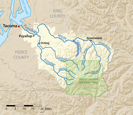
| current | 03:40, 23 February 2016 | | 2,292 × 1,979 (1.76 MB) | commons>Shannon1 | {{Information |Description ={{en|1=Map of the Puyallup River watershed in Washington, USA with the Clearwater River highlighted. Made using USGS National Map data.}} |Source =Own work |Author =Shannon1 |Date... |
File usage
There are no pages that use this file.