File:Clear Fork Guyandotte map.png
Jump to navigation
Jump to search

Size of this preview: 663 × 600 pixels. Other resolutions: 265 × 240 pixels | 531 × 480 pixels | 849 × 768 pixels | 1,132 × 1,024 pixels | 2,405 × 2,176 pixels.
Original file (2,405 × 2,176 pixels, file size: 164 KB, MIME type: image/png)
File history
Click on a date/time to view the file as it appeared at that time.
| Date/Time | Thumbnail | Dimensions | User | Comment | |
|---|---|---|---|---|---|
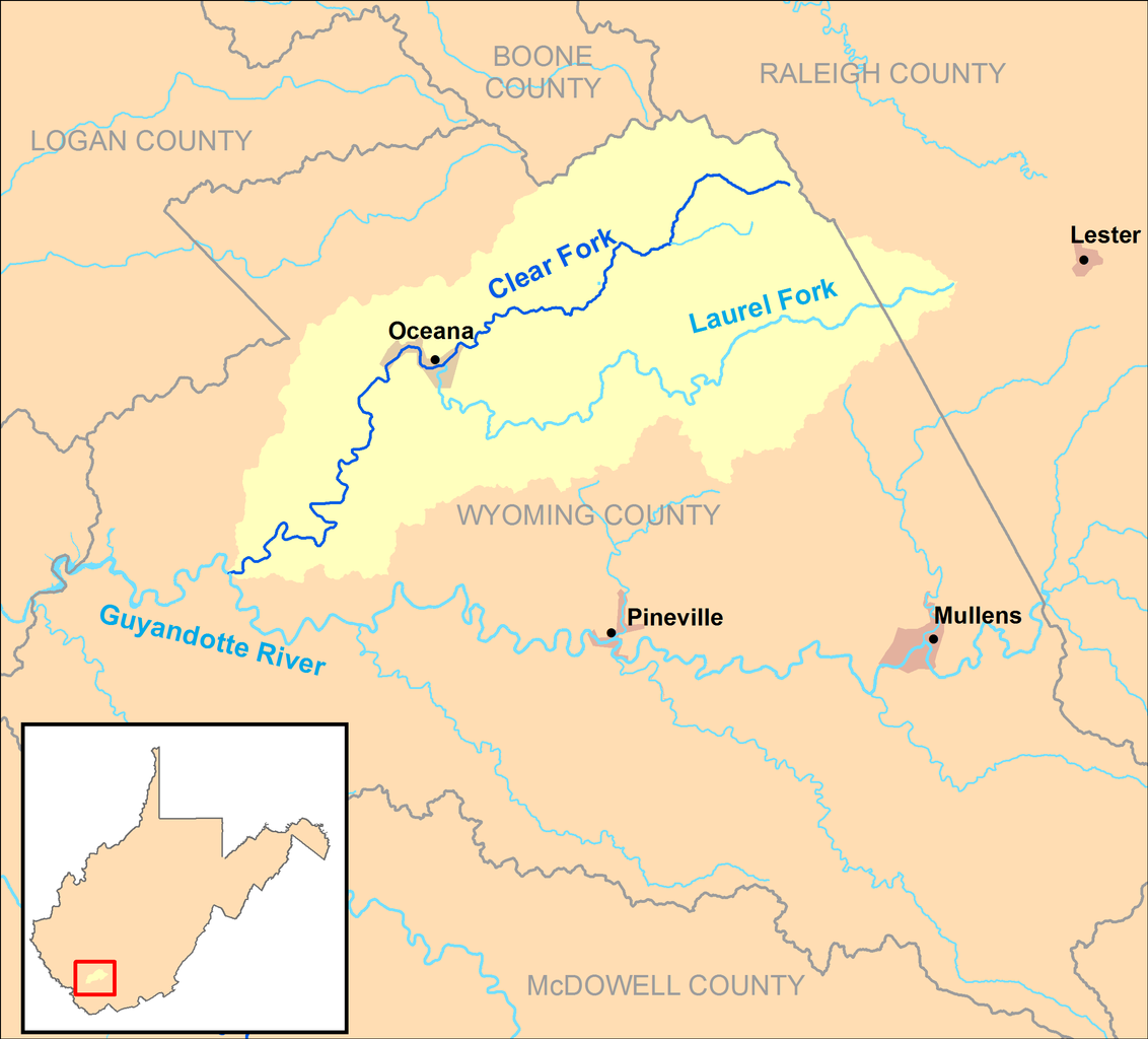
| current | 02:09, 17 March 2013 | | 2,405 × 2,176 (164 KB) | commons>TimK MSI | {{Information |Description ={{en|1=A map of the Clear Fork and its watershed (USGS HUC-10 0507010102, combining HUC-12 subwatersheds 050701010201, 050701010202, and 0507010102... |
File usage
There are no pages that use this file.