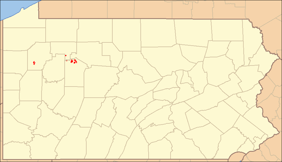
File:Clear Creek State Forest Locator Map.PNG
Jump to navigation
Jump to search
Size of this preview: 800 × 460 pixels. Other resolutions: 320 × 184 pixels | 640 × 368 pixels | 964 × 554 pixels.
Original file (964 × 554 pixels, file size: 35 KB, MIME type: image/png)
File history
Click on a date/time to view the file as it appeared at that time.
| Date/Time | Thumbnail | Dimensions | User | Comment | |
|---|---|---|---|---|---|
| current | 04:24, 8 September 2007 | | 964 × 554 (35 KB) | commons>Ruhrfisch | {{Information| |Description= Locator Map of Clear_Creek State Forest, Pennsylvania, United States |Source= taken from US Census website [http://factfinder.census.gov/] and modified by User:Ruhrfisch, state forest border information taken from [http:/ |
File usage
There are no pages that use this file.