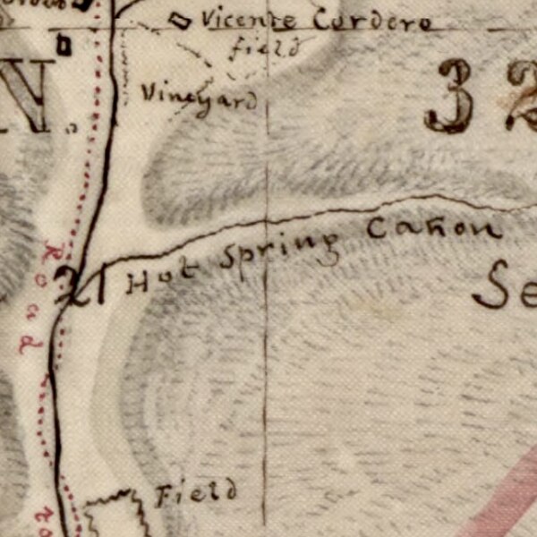
File:Circa 1880 map detail of Rancho Las Cruces plat Las Cruces Hot Springs aka Gaviota Hot Springs.jpg
Jump to navigation
Jump to search

Size of this preview: 600 × 600 pixels. Other resolutions: 240 × 240 pixels | 612 × 612 pixels.
Original file (612 × 612 pixels, file size: 121 KB, MIME type: image/jpeg)
File history
Click on a date/time to view the file as it appeared at that time.
| Date/Time | Thumbnail | Dimensions | User | Comment | |
|---|---|---|---|---|---|
| current | 03:04, 21 January 2024 |  | 612 × 612 (121 KB) | commons>Jengod | Uploaded a work by US Surveyor General from Title: Map of lands claimed by Rancho Las Cruces : Santa Barbara County, Cal Local Call Number: Land Case Map D-934 From: Map of lands claimed by Rancho Las Cruces : Santa Barbara County, Cal Collection: Maps of private land grant cases of California Contributing Institution: UC Berkeley, Bancroft Library https://oac.cdlib.org/ark:/13030/hb1t1nb0gk/?order=2&brand=oac4 with UploadWizard |
File usage
There are no pages that use this file.