File:Church UK ward locator map.svg
Jump to navigation
Jump to search

Size of this PNG preview of this SVG file: 606 × 600 pixels. Other resolutions: 242 × 240 pixels | 485 × 480 pixels | 776 × 768 pixels | 1,035 × 1,024 pixels | 2,069 × 2,048 pixels | 1,363 × 1,349 pixels.
Original file (SVG file, nominally 1,363 × 1,349 pixels, file size: 241 KB)
File history
Click on a date/time to view the file as it appeared at that time.
| Date/Time | Thumbnail | Dimensions | User | Comment | |
|---|---|---|---|---|---|
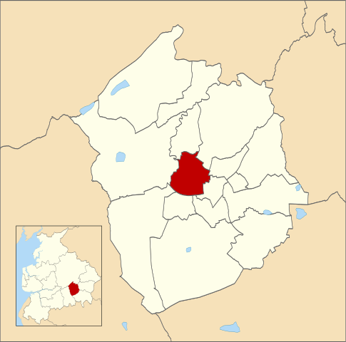
| current | 13:57, 21 October 2019 | | 1,363 × 1,349 (241 KB) | commons>Lalichi | Map of Hyndburn, Lancashire, UK with electoral wards shown. Church ward highlighted in red. Equirectangular map projection on WGS 84 datum, with N/S stretched 165% Geographic limits: West: 2.50W East: 2.30W North: 53.82N South: 53.70N {{cc-by-sa-3.0|Contains Ordnance Survey data © Crown copyright and database right}} |
File usage
There are no pages that use this file.