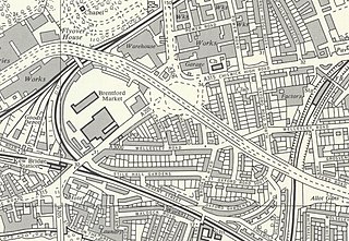
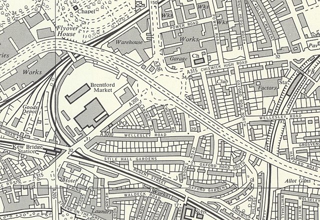
File:Chiswick Flyover Map, 1960.jpg
Jump to navigation
Jump to search

Size of this preview: 800 × 552 pixels. Other resolutions: 320 × 221 pixels | 640 × 441 pixels | 841 × 580 pixels.
Original file (841 × 580 pixels, file size: 483 KB, MIME type: image/jpeg)
File history
Click on a date/time to view the file as it appeared at that time.
| Date/Time | Thumbnail | Dimensions | User | Comment | |
|---|---|---|---|---|---|
| current | 23:31, 3 March 2020 | | 841 × 580 (483 KB) | commons>DavidCane | == {{int:filedesc}} == {{Information |Description=Chiswick Flyover on an Ordnance Survey Map, 1960. |Source=Ordnance Survey, TQ17 NE Greater London |Author={{unknown|Author}} |Date=Surveyed: 1959-61, Published: 1966 |Permission= |other_versions= }} {{OldOS}} |
File usage
There are no pages that use this file.