File:China Hubei rel location map.svg
Jump to navigation
Jump to search

Size of this PNG preview of this SVG file: 800 × 532 pixels. Other resolutions: 320 × 213 pixels | 640 × 426 pixels | 1,024 × 681 pixels | 1,280 × 851 pixels | 2,560 × 1,703 pixels | 1,162 × 773 pixels.
Original file (SVG file, nominally 1,162 × 773 pixels, file size: 643 KB)
File history
Click on a date/time to view the file as it appeared at that time.
| Date/Time | Thumbnail | Dimensions | User | Comment | |
|---|---|---|---|---|---|
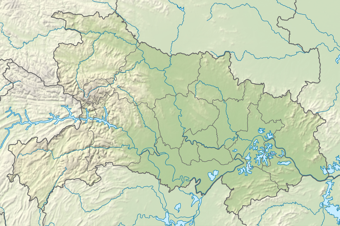
| current | 20:18, 2 May 2024 | | 1,162 × 773 (643 KB) | commons>NordNordWest | == {{int:filedesc}} == {{Information |Description= {{de|1=Positionskarte von Hubei, Volksrepublik China}} {{en|1=Location map of Hubei, People's Republic of China}} {{Location map series N |stretching=116 |top=33.5 |bottom=28.8 |left=108.2 |right=116.4 }} |Source={{Own using}} * United States National Imagery and Mapping Agency data * World Data Base II data * ETOPO1 data |Date=2024-05-02 |Author={{U|NordNordWest}} |Permission= |other_versions=<gallery>China Hubei adm location map.svg</galler... |
File usage
There are no pages that use this file.