File:Children's Centre, Staveley.jpg
Jump to navigation
Jump to search
Size of this preview: 800 × 592 pixels. Other resolutions: 320 × 237 pixels | 640 × 473 pixels | 1,024 × 757 pixels | 1,280 × 946 pixels | 1,600 × 1,183 pixels.
Original file (1,600 × 1,183 pixels, file size: 778 KB, MIME type: image/jpeg)
Summary
| Description |
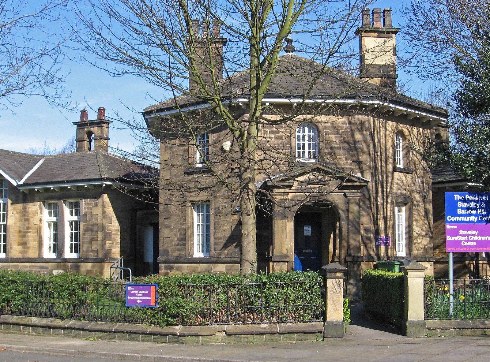
English: Photograph of the Children's Centre, Staveley, Derbyshire, England |
| Date | |
| Source | https://www.geograph.org.uk/photo/4427191 |
| Author | Dave Bevis |
| Camera location | | View this and other nearby images on: OpenStreetMap |
|---|
This is a photo of listed building number 1088356. |
Licensing

|
This image was taken from the Geograph project collection. See this photograph's page on the Geograph website for the photographer's contact details. The copyright on this image is owned by Dave Bevis and is licensed for reuse under the Creative Commons Attribution-ShareAlike 2.0 license.
|
This file is licensed under the Creative Commons Attribution-Share Alike 2.0 Generic license.
Attribution: Dave Bevis
- You are free:
- to share – to copy, distribute and transmit the work
- to remix – to adapt the work
- Under the following conditions:
- attribution – You must give appropriate credit, provide a link to the license, and indicate if changes were made. You may do so in any reasonable manner, but not in any way that suggests the licensor endorses you or your use.
- share alike – If you remix, transform, or build upon the material, you must distribute your contributions under the same or compatible license as the original.
File history
Click on a date/time to view the file as it appeared at that time.
| Date/Time | Thumbnail | Dimensions | User | Comment | |
|---|---|---|---|---|---|
| current | 17:04, 10 March 2023 | | 1,600 × 1,183 (778 KB) | commons>Geograph Update Bot | Higher-resolution version from Geograph |
File usage
There are no pages that use this file.