File:Chekurovka-1968.jpg
Jump to navigation
Jump to search

Size of this preview: 800 × 448 pixels. Other resolutions: 320 × 179 pixels | 640 × 359 pixels | 1,024 × 574 pixels | 1,280 × 717 pixels | 1,878 × 1,052 pixels.
Original file (1,878 × 1,052 pixels, file size: 1.05 MB, MIME type: image/jpeg)
File history
Click on a date/time to view the file as it appeared at that time.
| Date/Time | Thumbnail | Dimensions | User | Comment | |
|---|---|---|---|---|---|
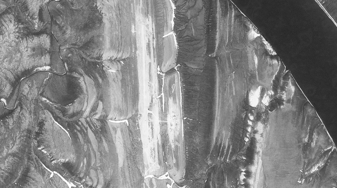
| current | 19:50, 28 November 2018 | | 1,878 × 1,052 (1.05 MB) | commons>Rolypolyman | Chekurovka Airfield, south of Tiksi, from US Department of Defense KH-7 GAMBIT satellite, from USGS holdings. Entity ID:DS1047-1084DA022<br/> Coordinates:70.83 , 124.345<br/> Camera Resolution:Stereo Medium<br/> Acquisition Date:26-JUN-68<br/> |
File usage
There are no pages that use this file.