File:Charlestonriversmap.png
Jump to navigation
Jump to search

Size of this preview: 600 × 600 pixels. Other resolutions: 240 × 240 pixels | 480 × 480 pixels | 1,000 × 1,000 pixels.
Original file (1,000 × 1,000 pixels, file size: 395 KB, MIME type: image/png)
File history
Click on a date/time to view the file as it appeared at that time.
| Date/Time | Thumbnail | Dimensions | User | Comment | |
|---|---|---|---|---|---|
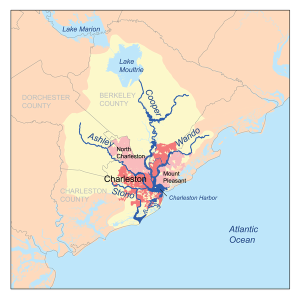
| current | 18:45, 1 March 2007 | | 1,000 × 1,000 (395 KB) | commons>Kmusser | This is a map of the Charleston Harbor watershed, including the Ashley, Cooper, Wando and Stono rivers. I, [[:en |
File usage
There are no pages that use this file.