File:Charing Cross Map 1901.png
Jump to navigation
Jump to search

Size of this preview: 778 × 600 pixels. Other resolutions: 312 × 240 pixels | 623 × 480 pixels | 997 × 768 pixels | 1,280 × 987 pixels | 2,560 × 1,973 pixels | 3,616 × 2,787 pixels.
Original file (3,616 × 2,787 pixels, file size: 9.33 MB, MIME type: image/png)
File history
Click on a date/time to view the file as it appeared at that time.
| Date/Time | Thumbnail | Dimensions | User | Comment | |
|---|---|---|---|---|---|
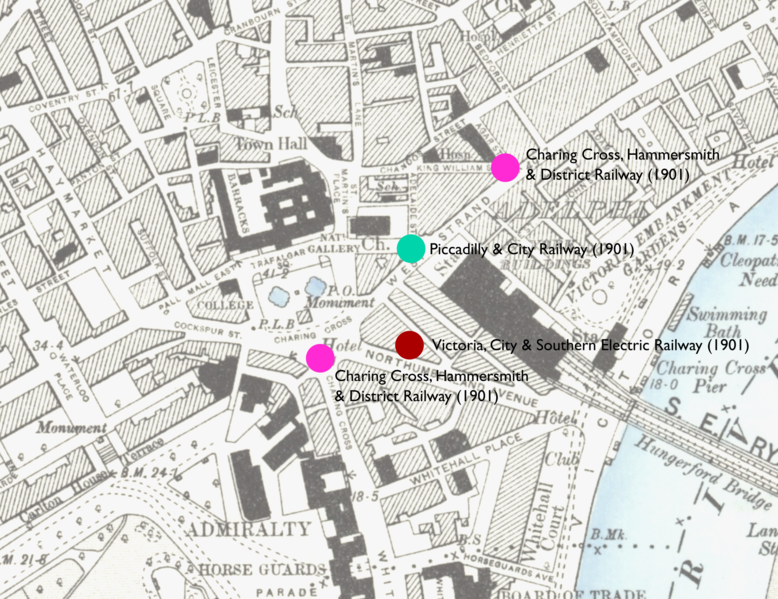
| current | 00:34, 16 April 2020 | | 3,616 × 2,787 (9.33 MB) | commons>DavidCane | == {{int:filedesc}} == {{Information |description=Map showing locations of stations proposed in 1901 in parliamentary bills for underground stations in the Charing Cross area. |date=Revised 1893 to 1895. Edition Published 1894 to 1896 |source=Base Map Ordnance Survey map: London VII.SW. Station locations: as described in London's Lost Tube Schemes by Antony Badsey-Ellis |author={{unknown|author}} |permission= |other versions= }} {{OldOS}} [[Category:Charing Cross tube sta... |
File usage
There are no pages that use this file.