File:Changchun 125.32286E 43.87998N.jpg
Jump to navigation
Jump to search

Size of this preview: 800 × 599 pixels. Other resolutions: 320 × 240 pixels | 640 × 479 pixels | 1,024 × 766 pixels | 1,280 × 958 pixels.
Original file (1,280 × 958 pixels, file size: 233 KB, MIME type: image/jpeg)
Summary
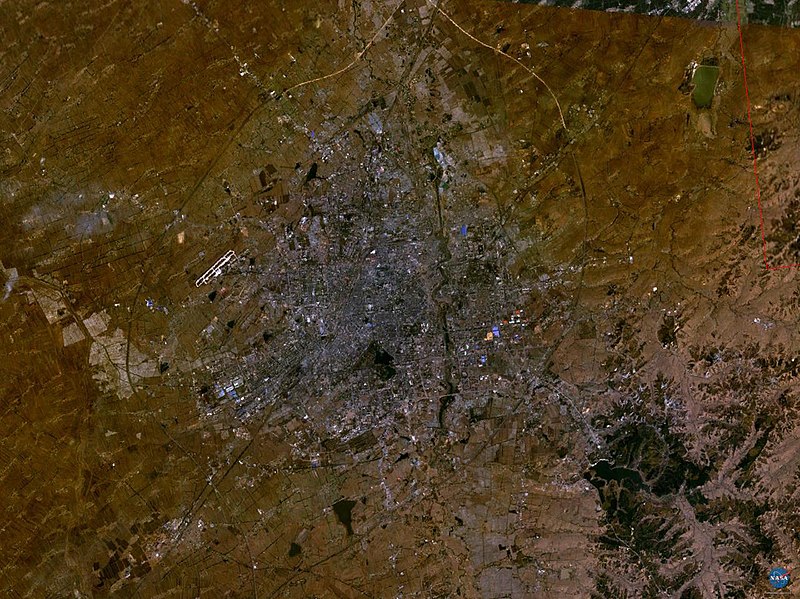
| Description | Changchun, Jilin, China |
| Source | NASA World Wind screenshot. |
| Author | User:Rex |
| Object location | | View this and other nearby images on: OpenStreetMap |
|---|
| This image is in the public domain because it is a screenshot from NASA’s globe software World Wind using a public domain layer, such as Blue Marble, MODIS, Landsat, SRTM, USGS or GLOBE.
|
 |
File history
Click on a date/time to view the file as it appeared at that time.
| Date/Time | Thumbnail | Dimensions | User | Comment | |
|---|---|---|---|---|---|
| current | 13:41, 18 May 2005 | | 1,280 × 958 (233 KB) | commons>Rex | Changchun, China NASA World Wind screenshot. {{PD-USGov-NASA}} Category:Maps of China |
File usage
There are no pages that use this file.